Boulevard des Allumettières, Gatineau
Map
Map

Facts and practical information
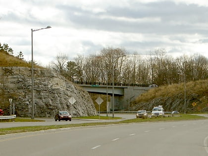
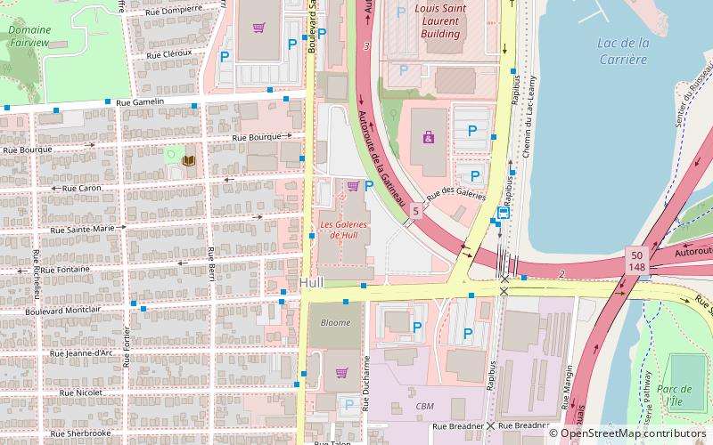
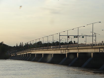
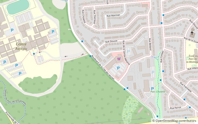
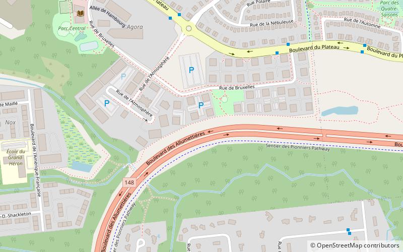
Boulevard des Allumettières is a major 13.7 km arterial road in Gatineau, Quebec, Canada, that connects Aylmer and Hull sectors of the city running from Eardley Road to the Alexandra Bridge towards Ottawa. It is the most recent east-west arterial connection from the West to the downtown core and construction of the entire length was completed during the fall of 2007. ()
Coordinates: 45°25'52"N, 75°47'43"W
Address
Le PlateauGatineau
ContactAdd
Social media
Add
Day trips
Boulevard des Allumettières – popular in the area (distance from the attraction)
Nearby attractions include: Pink Lake, Royal Ottawa Golf Club, Rivermead Golf Club, Canadian Ski Museum.
Frequently Asked Questions (FAQ)
Which popular attractions are close to Boulevard des Allumettières?
Nearby attractions include Hull—Aylmer, Ottawa (10 min walk), Boulevard du Plateau, Gatineau (17 min walk).
