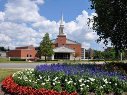
Castlemore, Brampton
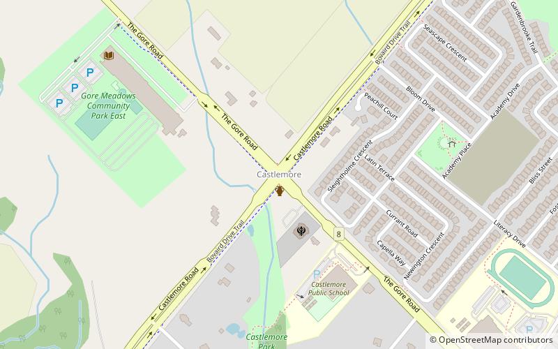
Map
Facts and practical information
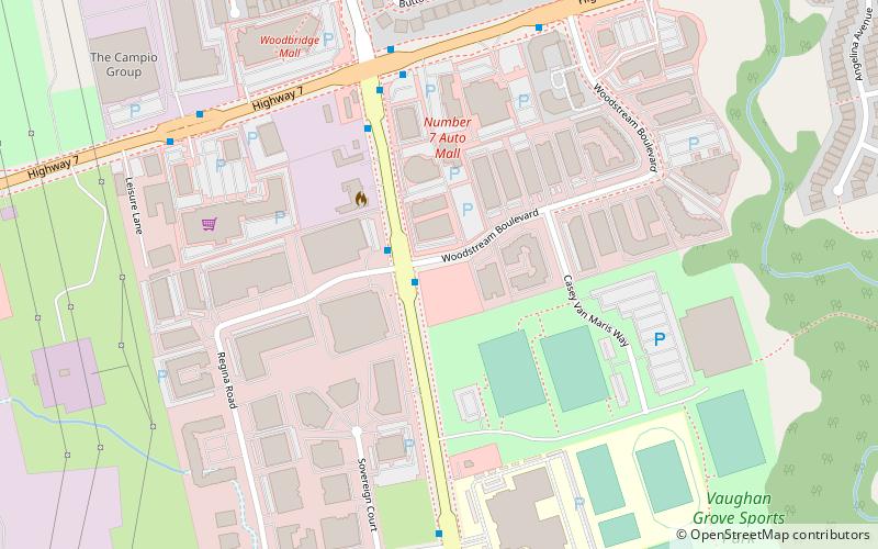
Castlemore is suburban area that is located 14 km northeast of downtown Brampton in Ontario, Canada. It consists of multiple neighbourhoods of Brampton northwest of Claireville. ()
Coordinates: 43°47'31"N, 79°41'24"W
Address
Bram EastBrampton
ContactAdd
Social media
Add
Day trips
Castlemore – popular in the area (distance from the attraction)
Nearby attractions include: Wild Water Kingdom, BAPS Shri Swaminarayan Mandir Toronto, Donald M. Gordon Chinguacousy Park, Professor's Lake.
Frequently Asked Questions (FAQ)
How to get to Castlemore by public transport?
The nearest stations to Castlemore:
Bus
Bus
- Highway 50 @ Castlemore Road • Lines: 38 (33 min walk)


