Italian Walk of Fame, Toronto
Map
Facts and practical information
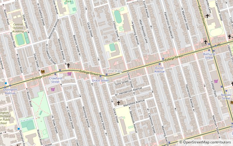
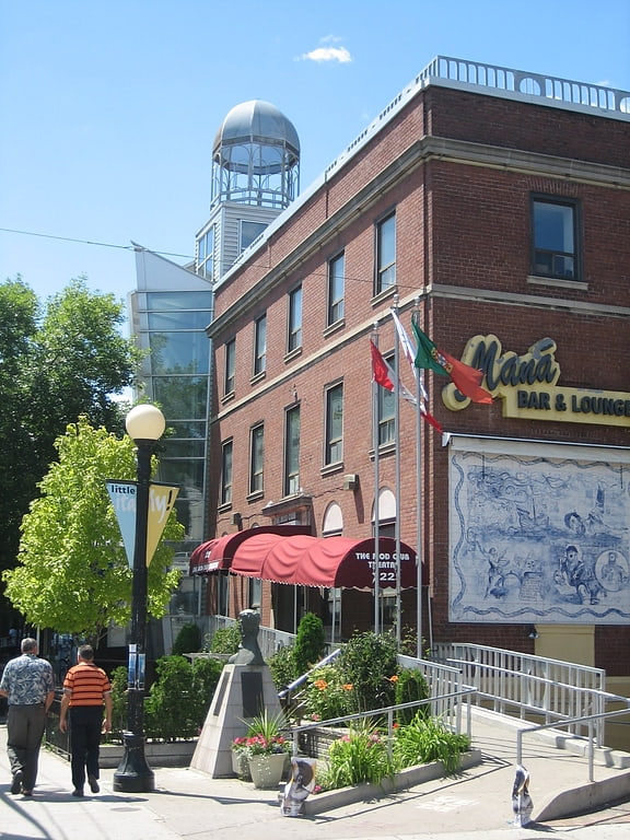
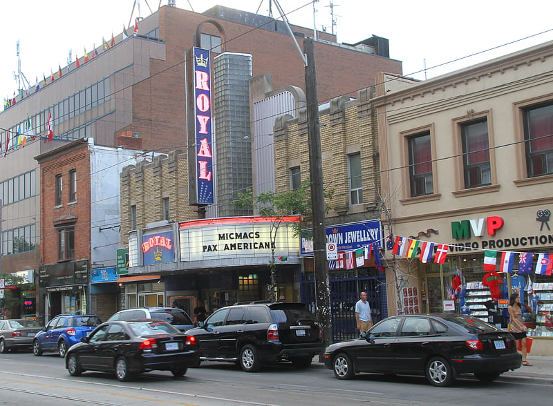
The Italian Walk of Fame located in Toronto, Ontario, Canada, is a walk of fame that acknowledges the achievements and accomplishments of successful persons of Italian descent. The walk of fame is located in the downtown Little Italy district. The IWOF consists of stars placed permanently and prominently in the sidewalk on the north side of College Street between Grace Street and Clinton Street. ()
Address
West End (Bickford Park)Toronto
ContactAdd
Social media
Add
Getting there by public transportation
Public transportation stops near this location
- Metro
- Bus
- Tram
 Metro
Metro
- Calculate routeGrace Street 8 min walk
- Calculate routeCrawford Street 6 min walk
- Calculate routeGrace Street 10 min walk
- Calculate routeManning Avenue 10 min walk
- Calculate routeCollege Street 11 min walk
- Calculate routeChristie 17 min walk
- Calculate routeBathurst 20 min walk
- Calculate routeOssington 20 min walk
- Calculate routeSpadina 27 min walk
Maps SubwayMaps
 Streetcar systemMaps
 PATH
PATH
SubwayMapsStreetcar systemMapsPATHDay trips


Frequently Asked Questions (FAQ)
Which popular attractions are close to Italian Walk of Fame?
Nearby attractions include Little Italy, Toronto (1 min walk), The Orbit Room, Toronto (2 min walk), St. Francis of Assisi, Toronto (3 min walk), College Street Baptist Church, Toronto (6 min walk).
How to get to Italian Walk of Fame by public transport?
The nearest stations to Italian Walk of Fame:
Tram
Bus
Metro
Tram
- Grace Street • Lines: 306, 505, 506 (8 min walk)
- Crawford Street • Lines: 306, 506 (6 min walk)
Bus
- Grace Street • Lines: 94A (10 min walk)
- Manning Avenue • Lines: 94A (10 min walk)
Metro
- Christie • Lines: 2 (17 min walk)
- Bathurst • Lines: 2 (20 min walk)