Mount Paul
Map

Gallery

Facts and practical information
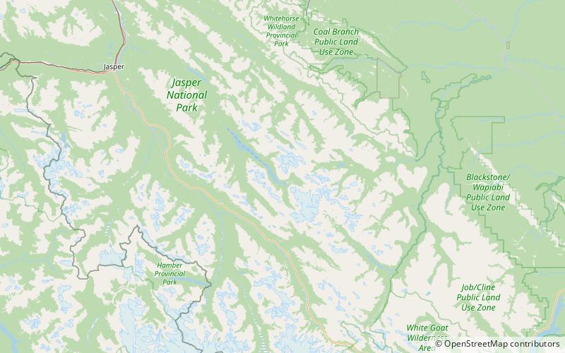
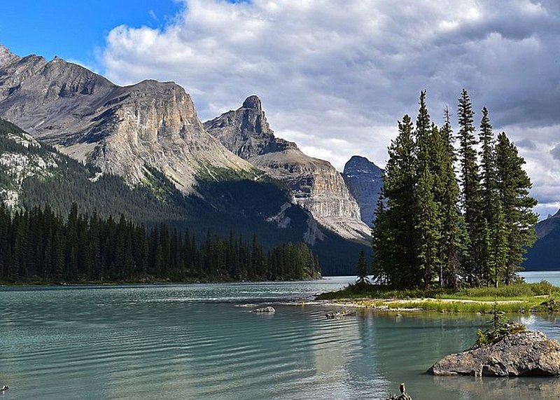
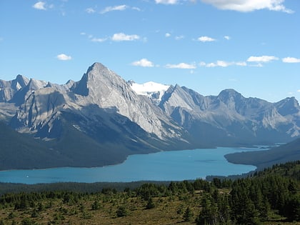
Mount Paul is a 2,850-metre mountain summit towering 1134 metres above the east shore of Maligne Lake in Jasper National Park, in the Canadian Rockies of Alberta, Canada. The nearest higher peak is Maligne Mountain, 1.81 km to the north-northwest. Mount Paul is situated north of Monkhead and they are often seen together in the background of iconic calendar photos of Spirit Island and Maligne Lake. ()
Coordinates: 52°36'55"N, 117°25'40"W
Location
Alberta
ContactAdd
Social media
Add
Day trips
Mount Paul – popular in the area (distance from the attraction)
Nearby attractions include: Maligne Lake, Samson Peak, Mount Charlton, Maligne Mountain.


