Maligne Mountain
Map

Map

Facts and practical information
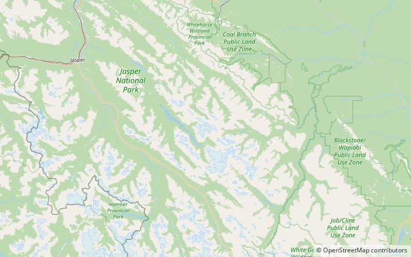
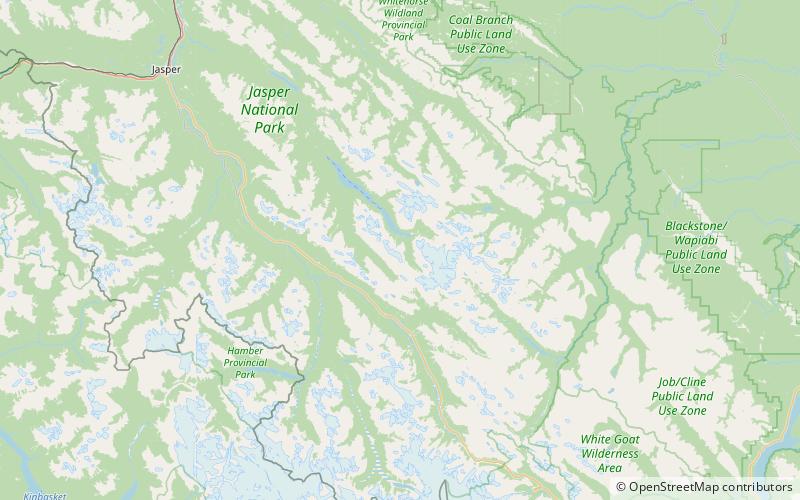
Maligne Mountain is a 3,200-metre multi-peak massif located east of Maligne Lake in Jasper National Park, in the Canadian Rockies of Alberta, Canada. Maligne Mountain is surrounded by glaciers, and its nearest higher peak is Monkhead, 7.8 km to the south. ()
Coordinates: 52°39'6"N, 117°24'0"W
Location
Alberta
ContactAdd
Social media
Add
Day trips
Maligne Mountain – popular in the area (distance from the attraction)
Nearby attractions include: Samson Peak, Mount Charlton, Monkhead, Mount Paul.


