Claridge Icon, Ottawa

Gallery (1)
Map
Map
Facts and practical information
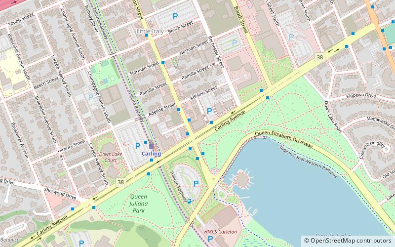
The Claridge Icon is a 45-storey condominium tower under construction in Ottawa, Ontario, Canada. It is located at the intersection of Carling Avenue and Preston Street in Little Italy. When the structure topped out in 2019, it became the tallest building in Ottawa since 1971 and the tallest in Ottawa-Gatineau since 1978. ()
Coordinates: 45°23'53"N, 75°42'27"W
Address
Centretown WestOttawa
ContactAdd
Social media
Add
Getting there by public transportation
Public transportation stops near this location
- Bus
- Light rail
 Bus
Bus
- Calculate routeCarling / Norfolk 1 min walk
- Calculate routePreston / Carling 1 min walk
- Calculate routeCarling / Preston 2 min walk
- Calculate routeBayview O-Train East/Est 27 min walk
- Calculate routePimisi O-Train West/Ouest 29 min walk
Day trips


Frequently Asked Questions (FAQ)
Which popular attractions are close to Claridge Icon?
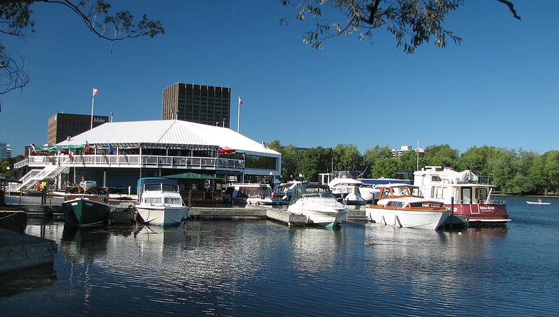
Nearby attractions include Commissioners Park, Ottawa (7 min walk), Dow's Lake, Ottawa (9 min walk), Dominion Arboretum, Ottawa (14 min walk), St. Anthony of Padua, Ottawa (14 min walk).
How to get to Claridge Icon by public transport?
The nearest stations to Claridge Icon:
Bus
Light rail
Bus
- Carling / Norfolk • Lines: 55, 56 (1 min walk)
- Preston / Carling • Lines: 2, 85 (1 min walk)
Light rail
- Bayview O-Train East/Est • Lines: 1 (27 min walk)
- Pimisi O-Train West/Ouest • Lines: 1 (29 min walk)