Cap-Rouge, Quebec City
Map
Facts and practical information
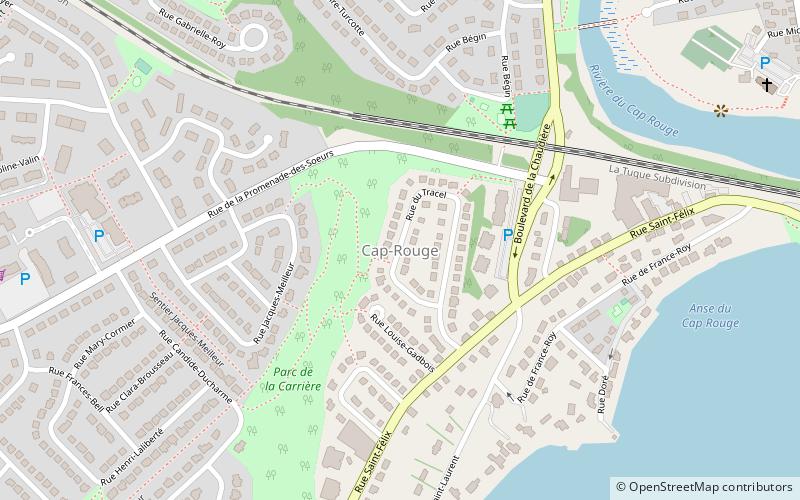
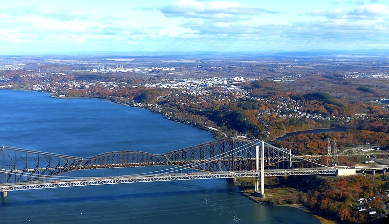
Cap-Rouge is a former city in central Quebec, Canada, since 2002 within the borough Sainte-Foy–Sillery–Cap-Rouge in Quebec City. The site of the first attempted permanent French settlement in North America, Charlesbourg-Royal, is located at the confluence of the Rivière du Cap Rouge and the Saint Lawrence River. Its population was 13,153 as of the Canada 2011 Census. ()
Address
Laurentien (Cap-Rouge)Quebec City
ContactAdd
Social media
Add
Getting there by public transportation
Public transportation stops near this location
- Bus
 Bus
Bus
- Calculate routeTerminus de Marly 28 min walk
Day trips


Frequently Asked Questions (FAQ)
How to get to Cap-Rouge by public transport?
The nearest stations to Cap-Rouge:
Bus
Bus
- Terminus de Marly • Lines: 800, 801 (28 min walk)