Red Carpet, Calgary
Map

Map

Facts and practical information
Red Carpet is a community in the southeast quadrant of Calgary, Alberta. It is located at the eastern edge of the city, between the CN tracks, 17 Avenue SE and 68 Street SE. Elliston Park and Elliston Lake, the site of GlobalFest fireworks, are located immediately south of the community. ()
Area: 123.55 acres (0.1931 mi²)Coordinates: 51°2'29"N, 113°56'26"W
Day trips
Red Carpet – popular in the area (distance from the attraction)
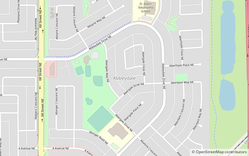
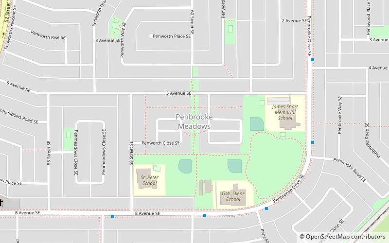
Nearby attractions include: Ernie Starr Arena, Abbeydale, Penbrooke Meadows, International Avenue.
Frequently Asked Questions (FAQ)
Which popular attractions are close to Red Carpet?
Nearby attractions include Penbrooke Meadows, Calgary (14 min walk), International Avenue, Calgary (23 min walk).
How to get to Red Carpet by public transport?
The nearest stations to Red Carpet:
Bus
Bus
- Stop ID 8835 • Lines: 1 (12 min walk)
- Penbrooke (19 min walk)


