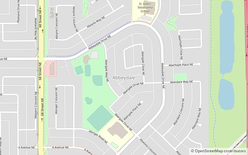
Abbeydale, Calgary
Map
Facts and practical information
Abbeydale is a neighbourhood in the northeast quadrant of Calgary, Alberta. It is bordered to the north by Trans-Canada Highway, to the east by Stoney Trail, to the south by Canadian National Railway tracks and to the west by 68 Street E. ()
Area: 0.77 mi²Coordinates: 51°3'32"N, 113°55'46"W
Getting there by public transportation
Public transportation stops near this location
- Bus
 Bus
Bus
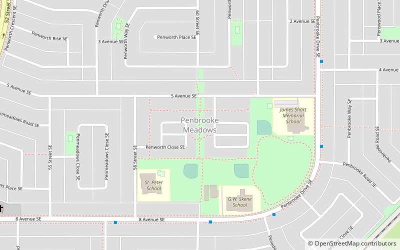
- Calculate routePenbrooke 19 min walk
Day trips

Frequently Asked Questions (FAQ)
How to get to Abbeydale by public transport?
The nearest stations to Abbeydale:
Bus
Bus
- Penbrooke (19 min walk)