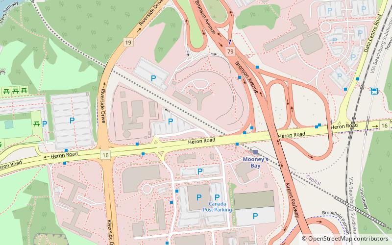
Confederation Heights, Ottawa

Gallery (1)
Map
Map
Facts and practical information
Coordinates: 45°22'40"N, 75°41'15"W
Address
Confederation HeightsOttawa
ContactAdd
Social media
Add
Getting there by public transportation
Public transportation stops near this location
- Bus
 Bus
Bus
- Calculate routeHeron At Mooney's Bay Station 3 min walk
- Calculate routeBronson / Heron 4 min walk
- Calculate routeHeron / Riverside 4 min walk
Day trips


Frequently Asked Questions (FAQ)
Which popular attractions are close to Confederation Heights?
Nearby attractions include Edward Drake Building, Ottawa (1 min walk), Sir Charles Tupper Building, Ottawa (9 min walk), George Dunbar Bridge, Ottawa (10 min walk), Vincent Massey Park, Ottawa (10 min walk).
How to get to Confederation Heights by public transport?
The nearest stations to Confederation Heights:
Bus
Bus
- Heron At Mooney's Bay Station • Lines: 111, 190, 290, 88, 90 (3 min walk)
- Bronson / Heron • Lines: 10 (4 min walk)