St. Julien Mountain

Gallery (2)
Map
Map
Gallery
Facts and practical information
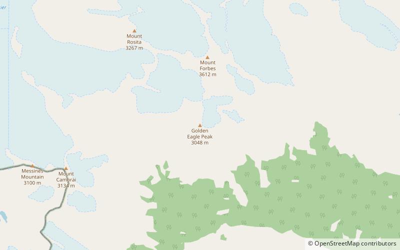
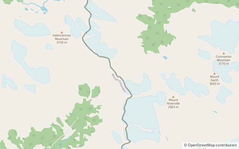
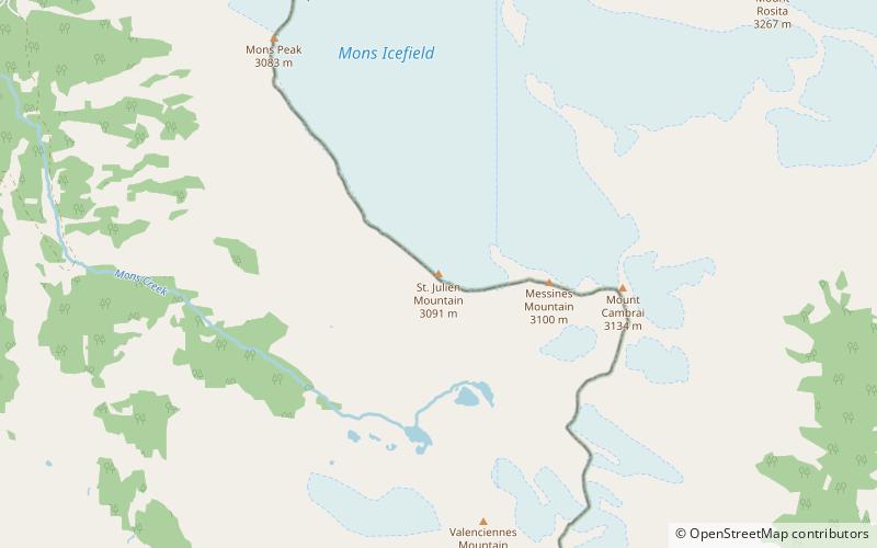
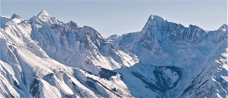
St. Julien Mountain is a 3,090-metre mountain summit located in the Canadian Rockies of British Columbia, Canada. It is situated on the British Columbia-Alberta border, as well as the Continental Divide, and the west boundary of Banff National Park. Neighbors include Mount Forbes 6.4 km to the east-northeast, Valenciennes Mountain 2.8 km to the south, and Icefall Peak is 12 km to the west. ()
Coordinates: 51°50'15"N, 117°0'33"W
Location
British Columbia
ContactAdd
Social media
Add
Day trips