Golden Eagle Peak

Map
Facts and practical information
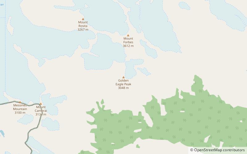
Golden Eagle Peak is a summit in Alberta, Canada. Part of the Canadian Rocky Mountain Chain, it sits within Banff National Park and the closest locality is Saskatchewan River Crossing, Alberta, approximately 24 km to the northeast. ()
Coordinates: 51°50'43"N, 116°56'4"W
Location
Alberta
ContactAdd
Social media
Add
Day trips
Golden Eagle Peak – popular in the area (distance from the attraction)
Nearby attractions include: St. Julien Mountain, Mount Outram, Mount Forbes, Mount Garth.


