Haysboro, Calgary
Map
Facts and practical information
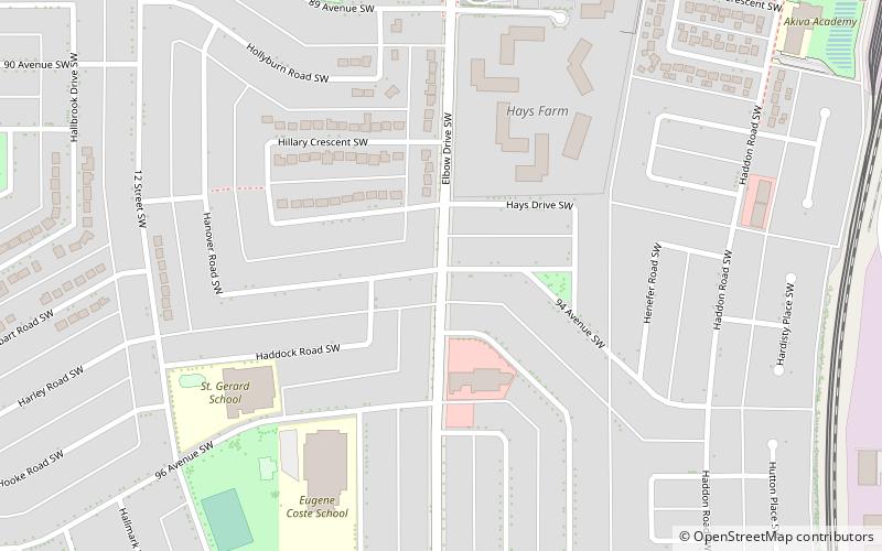
Haysboro is a residential neighbourhood in the southwest quadrant of Calgary, Alberta. It is bounded by Heritage Drive to the north, Macleod Trail to the east, 98th Avenue to the south and 14 Street W and the Glenmore Reservoir to the west. It is bisected by Elbow Drive. ()
Area: 1.12 mi²Coordinates: 50°58'13"N, 114°5'5"W
Getting there by public transportation
Public transportation stops near this location
- Bus
- Light rail
- Train
 Bus
Bus
- Calculate routeSouthland 14 min walk
- Calculate route90 Avenue SW 14 min walk
- Calculate route90 Avenue & 14 Street SW 14 min walk
- Calculate routeElbow Drive SW 17 min walk
- Calculate routeSouthland 15 min walk
- Calculate routeHeritage 18 min walk
- Calculate routeAnderson 30 min walk
- Calculate routeEncana 22 min walk
- Calculate routeDominion 25 min walk
Day trips


Frequently Asked Questions (FAQ)
How to get to Haysboro by public transport?
The nearest stations to Haysboro:
Bus
Light rail
Train
Bus
- Southland (14 min walk)
- 90 Avenue SW • Lines: 304 (14 min walk)
Light rail
- Southland • Lines: 201 (15 min walk)
- Heritage • Lines: 201 (18 min walk)
Train
- Encana (22 min walk)
- Dominion (25 min walk)