Mount Robertson
Map

Map

Facts and practical information
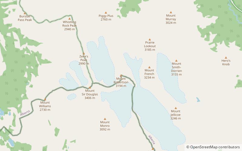
Mount Robertson is a mountain in the Canadian Rockies, standing astride the British Columbia-Alberta boundary between Palliser Pass and North Kananaskis Pass. The British Columbia side of the pass is in Mount Assiniboine Provincial Park. The mountain is named for Sir William Robertson, 1st Baronet, Chief of the Imperial General Staff from 1916 to 1918 during the First World War. ()
Coordinates: 50°43'36"N, 115°19'16"W
Location
Alberta
ContactAdd
Social media
Add
Day trips
Mount Robertson – popular in the area (distance from the attraction)
Nearby attractions include: Mount Smuts, Mount Nomad, Commonwealth Peak, Mount Chester.


