Mount Chester

Gallery (1)
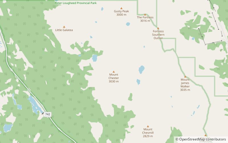
Map
Map
Facts and practical information
Mount Chester is a mountain located in the Smith-Dorrien Creek Valley of Kananaskis in the Canadian Rockies. The mountain was named in 1917 after HMS Chester, which was severely damaged in the Battle of Jutland. ()
Elevation: 10020 ftProminence: 1119 ftCoordinates: 50°48'24"N, 115°15'43"W
Location
Alberta
ContactAdd
Social media
Add
Day trips


