Church and Wellesley, Toronto
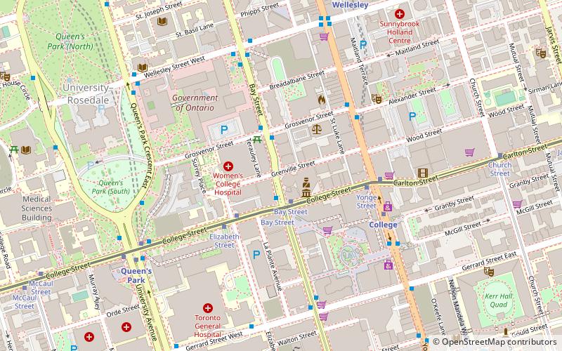
Map

Gallery
Facts and practical information
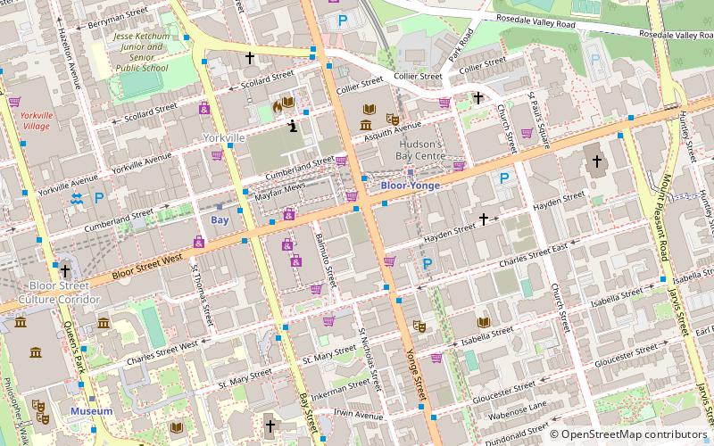
Church and Wellesley is an LGBT-oriented enclave in Toronto, Ontario, Canada. It is roughly bounded by Gerrard Street to the south, Yonge Street to the west, Charles Street to the north, and Jarvis Street to the east, with the core commercial strip located along Church Street from Wellesley south to Alexander. Though some gay and lesbian oriented establishments can be found outside this area, the general boundaries of this village have been defined by the Gay Toronto Tourism Guild. ()
Address
Downtown Toronto (Church and Wellesley)Toronto
ContactAdd
Social media
Add
Day trips
Church and Wellesley – popular in the area (distance from the attraction)
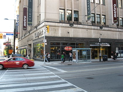
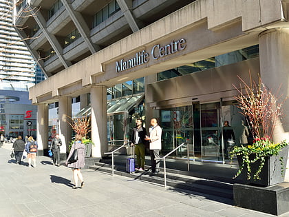
Nearby attractions include: Allan Gardens, Maple Leaf Gardens, College Park, Manulife Centre.
Frequently Asked Questions (FAQ)
Which popular attractions are close to Church and Wellesley?
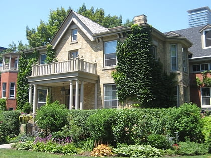
Nearby attractions include Paul Kane House, Toronto (2 min walk), Maple Leaf Gardens, Toronto (7 min walk), Panasonic Theatre, Toronto (8 min walk), Casa Condominio Residenza, Toronto (8 min walk).
How to get to Church and Wellesley by public transport?
The nearest stations to Church and Wellesley:
Bus
Metro
Tram
Bus
- Church Street • Lines: 94A, 94B (1 min walk)
- Jarvis Street • Lines: 94A, 94B (4 min walk)
Metro
- Wellesley • Lines: 1 (4 min walk)
- College • Lines: 1 (10 min walk)
Tram
- Church Street • Lines: 306, 506 (7 min walk)
- Yonge Street • Lines: 306, 506 (9 min walk)

 Subway
 Streetcar system
 PATH
PATH

