Batchelor Hill, Kamloops
Map
Facts and practical information
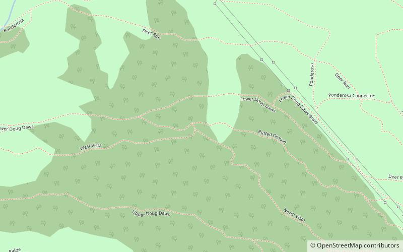
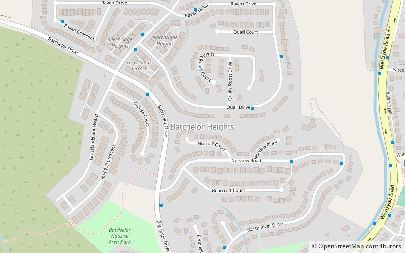
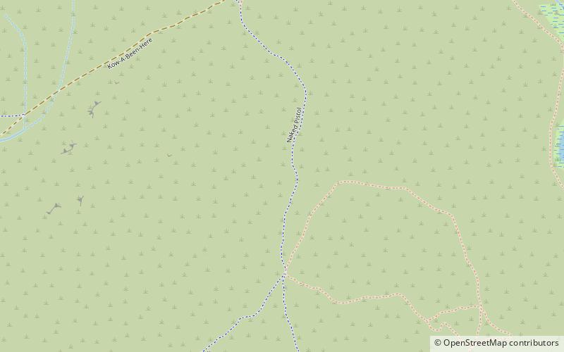
Batchelor Hill 733 m prominence: 128 m, is a hill overlooking the city of Kamloops, British Columbia, Canada, immediately northwest of the city and north of the neighbourhood of Brocklehurst. It is the namesake of the Batchelor Hills aka Batchelor Heights neighbourhood and also of the small Batchelor Range, which runs north from it on the side of the Kamloops Plateau but does not include it. ()
Coordinates: 50°44'0"N, 120°24'60"W
Address
Kamloops
ContactAdd
Social media
Add
Day trips
Batchelor Hill – popular in the area (distance from the attraction)
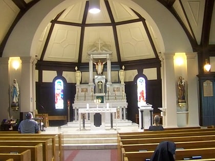
Nearby attractions include: Riverside Park, TCC gym, Kamloops Museum and Archives, Sacred Heart Cathedral.


