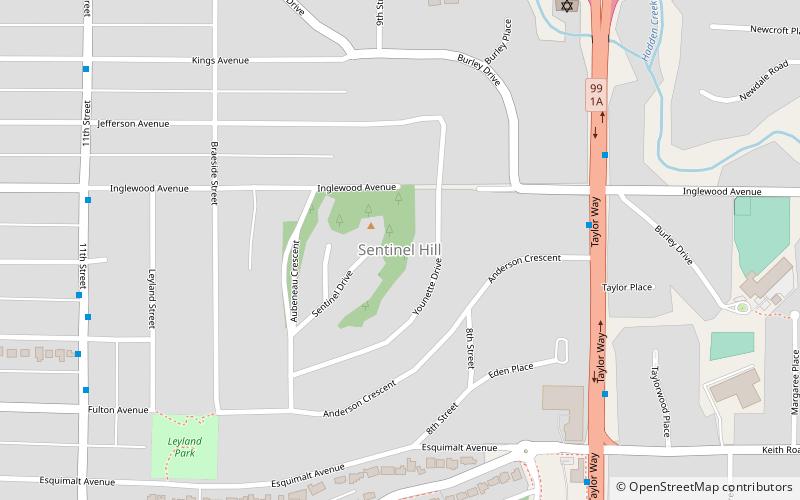
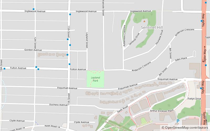
Sentinel Hill, North Vancouver
Map
Facts and practical information
The Sentinel Hill is a residential area in West Vancouver, British Columbia, Canada. ()
Coordinates: 49°20'1"N, 123°8'21"W
Address
Sentinel HillNorth Vancouver
ContactAdd
Social media
Add
Getting there by public transportation
Public transportation stops near this location
- Bus
 Bus
Bus
- Calculate routeTaylor Way at Inglewood Ave 6 min walk
- Calculate routeTaylor Way at Keith Rd 7 min walk
- Calculate route11th St at Inglewood Ave 8 min walk
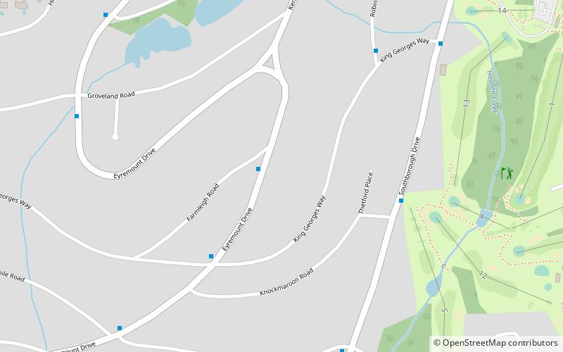
Day trips


Frequently Asked Questions (FAQ)
How to get to Sentinel Hill by public transport?
The nearest stations to Sentinel Hill:
Bus
Bus
- Taylor Way at Inglewood Ave • Lines: 254 (6 min walk)
- Taylor Way at Keith Rd • Lines: 254, 256 (7 min walk)