Hollyburn, North Vancouver
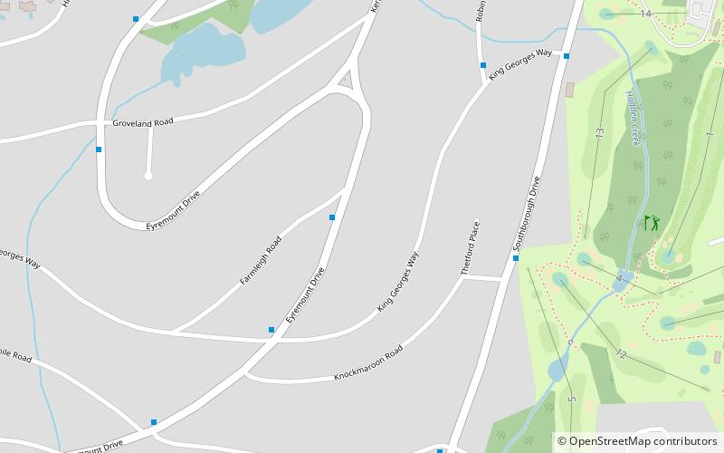
Map
Facts and practical information
Hollyburn is a neighbourhood in West Vancouver, British Columbia, Canada. It is north of Ambleside and south of the British Properties. ()
Coordinates: 49°20'60"N, 123°7'60"W
Address
British PropertiesNorth Vancouver
ContactAdd
Social media
Add
Getting there by public transportation
Public transportation stops near this location
- Bus
 Bus
Bus
- Calculate routeEyremount Dr at Farmleigh Rd 1 min walk
- Calculate routeSouthborough Dr at Knockmaroon Rd 5 min walk
- Calculate routeRobin Hood Rd at King Georges Way 6 min walk
Day trips

Frequently Asked Questions (FAQ)
Which popular attractions are close to Hollyburn?
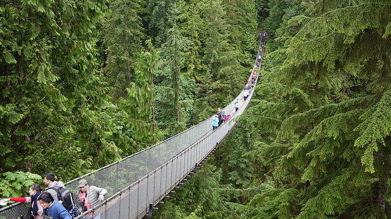
Nearby attractions include British Properties, North Vancouver (1 min walk), Dundarave, North Vancouver (1 min walk), Capilano River Regional Park, Vancouver (23 min walk).
How to get to Hollyburn by public transport?
The nearest stations to Hollyburn:
Bus
Bus
- Eyremount Dr at Farmleigh Rd • Lines: 254 (1 min walk)
- Southborough Dr at Knockmaroon Rd • Lines: 254 (5 min walk)