Burrows, Winnipeg
Map
Facts and practical information
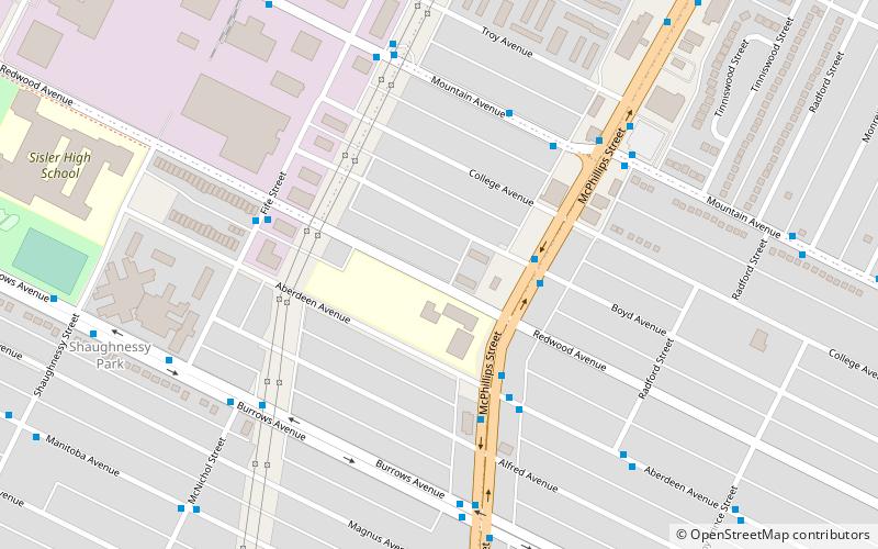
Burrows is a provincial electoral division in the Canadian province of Manitoba. It was created by redistribution in 1957 from part of Winnipeg North, and formally came into existence in the provincial election of 1958. The riding is located in the northern part of Winnipeg. ()
Coordinates: 49°55'48"N, 97°10'12"W
Address
Inkster (Shaughnessy Park)Winnipeg
ContactAdd
Social media
Add
Getting there by public transportation
Public transportation stops near this location
- Bus
 Bus
Bus
- Calculate routeSouthbound McPhillips at Boyd 3 min walk
- Calculate routeNorthbound McPhillips at Aberdeen 3 min walk
- Calculate routeWestbound Aberdeen at McPhillips 4 min walk
Day trips
Burrows – popular in the area (distance from the attraction)
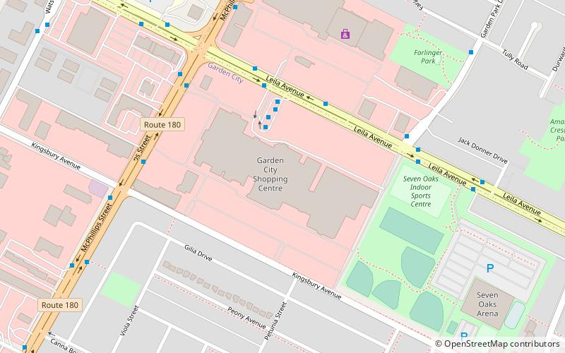
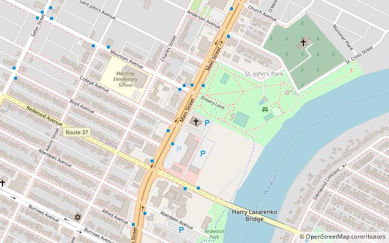
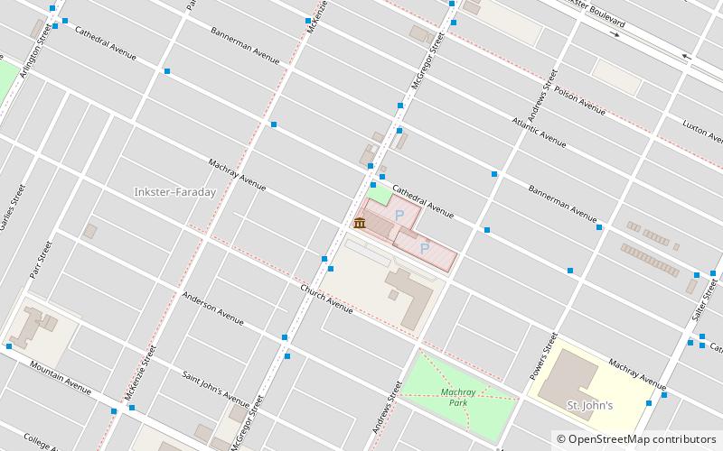
Nearby attractions include: Garden City Shopping Centre, Cathedral of St. John, Seven Oaks House Museum, Holy Trinity Ukrainian Orthodox Metropolitan Cathedral.


Frequently Asked Questions (FAQ)
Which popular attractions are close to Burrows?
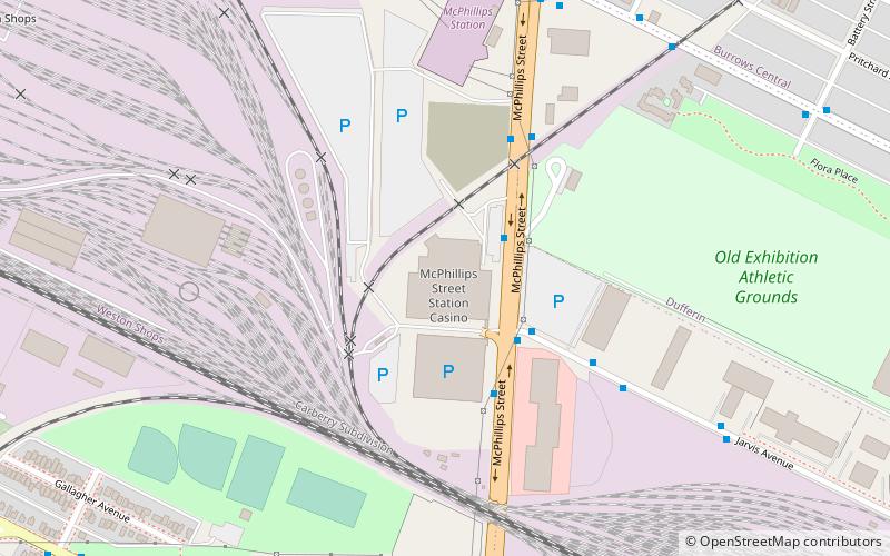
Nearby attractions include Winnipeg North, Winnipeg (9 min walk), McPhillips Station Casino, Winnipeg (19 min walk).
How to get to Burrows by public transport?
The nearest stations to Burrows:
Bus
Bus
- Southbound McPhillips at Boyd • Lines: 33, 71, 97 (3 min walk)
- Northbound McPhillips at Aberdeen • Lines: 33, 71 (3 min walk)