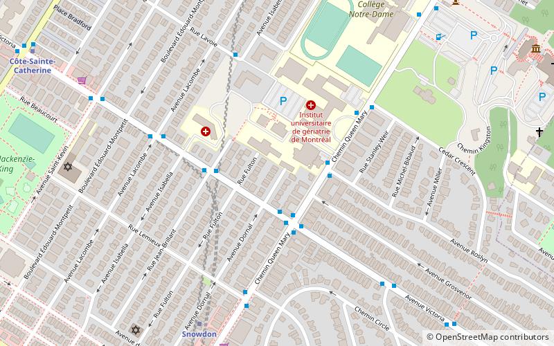
Queen Mary Road, Montreal
Map
Facts and practical information
Coordinates: 45°29'23"N, 73°37'31"W
Address
Côte-des-Neiges-Notre-Dame-de-Gráce (Côte-des-Neiges)Montreal
ContactAdd
Social media
Add
Getting there by public transportation
Public transportation stops near this location
- Metro
- Bus
- Train
 Metro
Metro
- Calculate routeVictoria / Dornal 2 min walk
- Calculate routeQueen-Mary / Roslyn 2 min walk
- Calculate routeVictoria / Queen-Mary 3 min walk
- Calculate routeSnowdon 6 min walk
- Calculate routeCôte-Sainte-Catherine 11 min walk
- Calculate routeCôte-des-Neiges 13 min walk
- Calculate routePlamondon 18 min walk
- Calculate routeVendôme 40 min walk
Maps Metro
Metro
MetroDay trips


Frequently Asked Questions (FAQ)
Which popular attractions are close to Queen Mary Road?
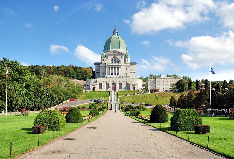
Nearby attractions include Congregation Maghen Abraham, Montreal (9 min walk), Spanish and Portuguese Synagogue of Montreal, Montreal (9 min walk), Parc Mackenzie-King, Montreal (11 min walk), Saint Joseph's Oratory, Montreal (12 min walk).
How to get to Queen Mary Road by public transport?
The nearest stations to Queen Mary Road:
Bus
Metro
Train
Bus
- Victoria / Dornal • Lines: 124-N (2 min walk)
- Queen-Mary / Roslyn • Lines: 166-N, 166-S, 51-E, 51-O (2 min walk)
Metro
- Snowdon • Lines: 2, 5 (6 min walk)
- Côte-Sainte-Catherine • Lines: 2 (11 min walk)
Train
- Vendôme (40 min walk)