Mount Wintour
Map

Gallery

Facts and practical information
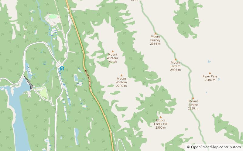
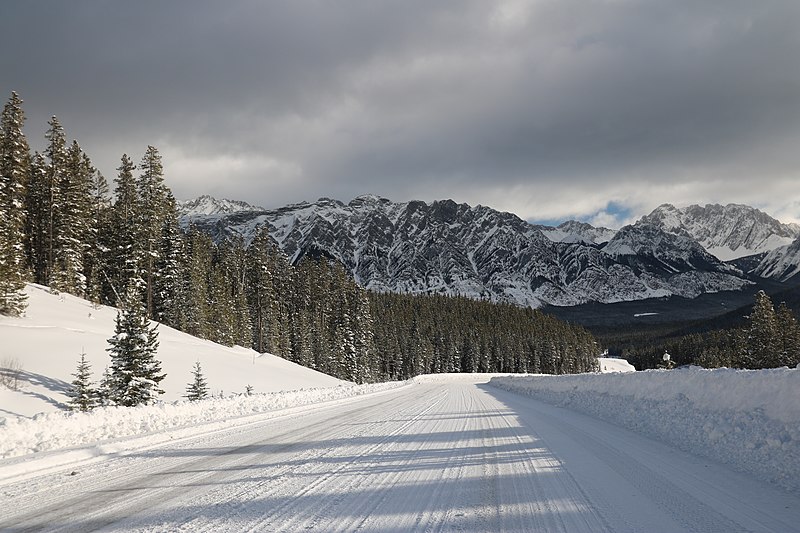
Mount Wintour is a 2,700-metre ridge-like mountain summit located in the Opal Range of the Canadian Rockies of Alberta, Canada. It is situated in the Kananaskis River Valley east of Lower Kananaskis Lake and Highway 40 in Peter Lougheed Provincial Park. Its nearest higher peak is Mount Jerram, 2.3 km to the east. The northern end of Mount Wintour forms the south canyon wall of King Creek which is a popular ice climbing destination. There are two climbing routes to the summit, the North Ridge and the South Ridge, both rated YDS 5.4. ()
Coordinates: 50°41'40"N, 115°4'49"W
Location
Alberta
ContactAdd
Social media
Add
Day trips
Mount Wintour – popular in the area (distance from the attraction)
Nearby attractions include: Elbow Lake, Lower Kananaskis Lake, Gap Mountain, Upper Kananaskis Lake.


