Mount Packenham

Gallery (2)
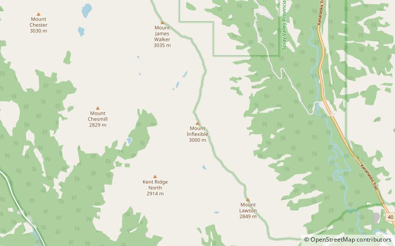
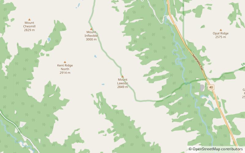
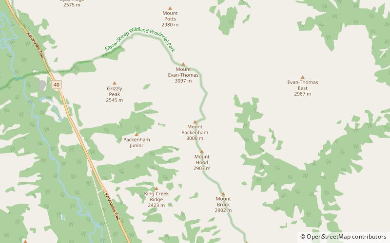
Map
Map
Gallery
Facts and practical information
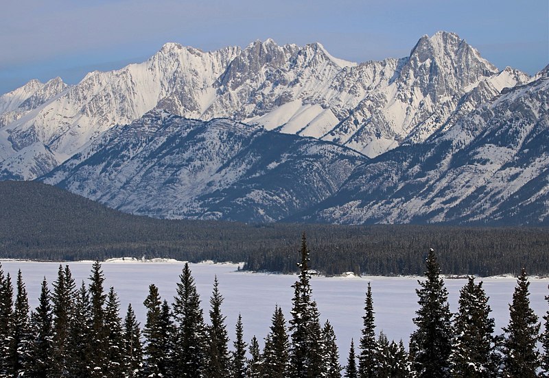
Mount Packenham is a 3,000-metre mountain summit located in the Opal Range of the Canadian Rockies of Alberta, Canada. Its nearest higher peak is Mount Evan-Thomas, 1.0 km to the north. Situated on the eastern boundary of Peter Lougheed Provincial Park, the peak is visible from Highway 40 and the Kananaskis Lakes area. ()
Coordinates: 50°45'13"N, 115°5'28"W
Location
Alberta
ContactAdd
Social media
Add
Day trips