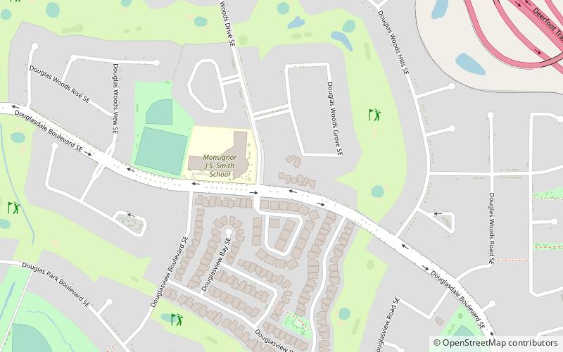
Douglasdale/Douglasglen, Calgary
Map
Facts and practical information
Douglasdale is a residential neighbourhood in the southeast quadrant of Calgary, Alberta. It is bounded by 114 Avenue S to the north, 130 Avenue S to the south, Deerfoot Trail to the east and the Bow River to the west. The Fish Creek Provincial Park borders the neighbourhood to the west. Douglasglen is located in the northern area, north of Deerfoot Trail. ()
Area: 1.97 mi²Coordinates: 50°56'27"N, 113°59'18"W
Getting there by public transportation
Public transportation stops near this location
- Bus
 Bus
Bus
- Calculate routeDouglas Glen 22 min walk
Day trips


Frequently Asked Questions (FAQ)
How to get to Douglasdale/Douglasglen by public transport?
The nearest stations to Douglasdale/Douglasglen:
Bus
Bus
- Douglas Glen • Lines: 306 (22 min walk)