McKenzie Towne, Calgary
Map
Facts and practical information
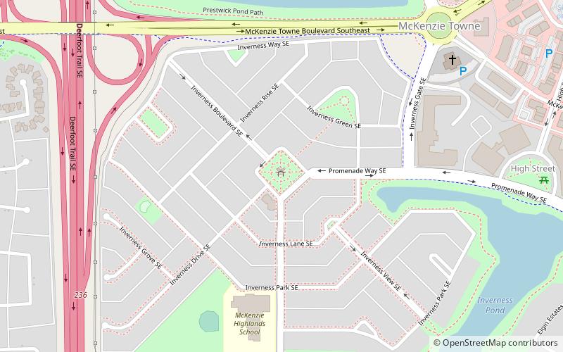
McKenzie Towne is a master planned residential neighbourhood in the southeast of Calgary, Alberta being developed by Carma Developers LP. The community is bordered on the west by Deerfoot Trail, on the south by Stoney Trail, on the east by 52 St. S.E. and to the north by the South Trail regional commercial centre along 130 Ave. S.E. ()
Area: 1.66 mi²Coordinates: 50°54'49"N, 113°58'9"W
Getting there by public transportation
Public transportation stops near this location
- Bus
 Bus
Bus
- Calculate routeMcKenzie Towne 14 min walk
Day trips


Frequently Asked Questions (FAQ)
How to get to McKenzie Towne by public transport?
The nearest stations to McKenzie Towne:
Bus
Bus
- McKenzie Towne (14 min walk)