Queen Alexandra, Edmonton
Map

Map

Facts and practical information
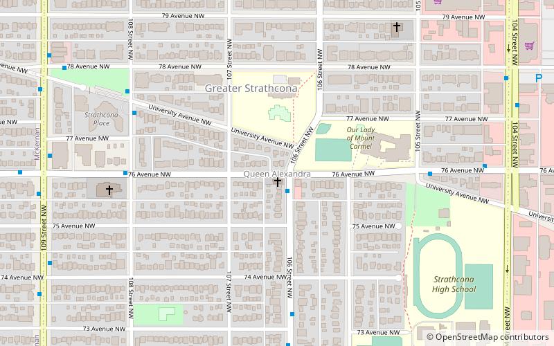
Queen Alexandra is a mixed residential and commercial neighbourhood in south west Edmonton, Alberta, Canada. The neighbourhood, once part of the City of Strathcona, is named for Alexandra, the wife of King Edward VII of the United Kingdom. The north edge of the neighbourhood, along Whyte Avenue is part of Old Strathcona, a popular commercial and cultural area of Edmonton. ()
Area: 0.47 mi²Coordinates: 53°30'44"N, 113°30'17"W
Address
Southwest Edmonton (Queen Alexandra)Edmonton
ContactAdd
Social media
Add
Day trips
Queen Alexandra – popular in the area (distance from the attraction)
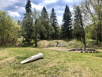
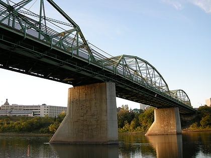
Nearby attractions include: Indigenous Art Park, Princess Theatre, Metro Cinema, Walterdale Bridge.
Frequently Asked Questions (FAQ)
Which popular attractions are close to Queen Alexandra?
Nearby attractions include Strathcona Public Building, Edmonton (11 min walk), Old Strathcona, Edmonton (14 min walk), Varscona Theatre, Edmonton (15 min walk), Shadow Theatre, Edmonton (15 min walk).
How to get to Queen Alexandra by public transport?
The nearest stations to Queen Alexandra:
Bus
Light rail
Bus
- Whyte Ave & 107 Street • Lines: 4, 637, 7 (11 min walk)
- Whyte Ave & 105 Street • Lines: 4, 404, 637, 7, Strathcona County Transit (12 min walk)
Light rail
- McKernan/Belgravia • Lines: 501, 502 (23 min walk)
- Health Sciences/Jubilee • Lines: 501, 502 (26 min walk)


