Calgary-Klein, Calgary

Map
Facts and practical information
Calgary-Klein is a provincial electoral district in Calgary, Alberta, Canada. The district was created in the 2010 boundary redistribution and is mandated to return a single member to the Legislative Assembly of Alberta using the first past the post voting system. The riding is named after former premier Ralph Klein. ()
Coordinates: 51°5'24"N, 114°3'36"W
Address
Northwest Calgary (Highland Park)Calgary
ContactAdd
Social media
Add
Day trips
Calgary-Klein – popular in the area (distance from the attraction)
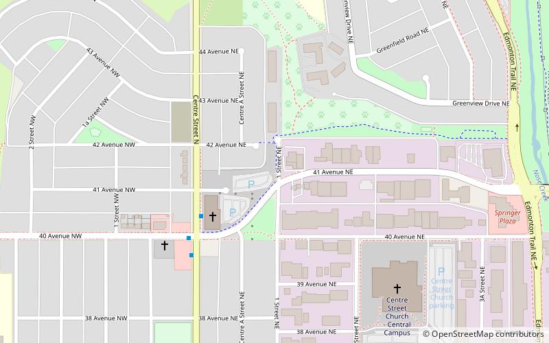
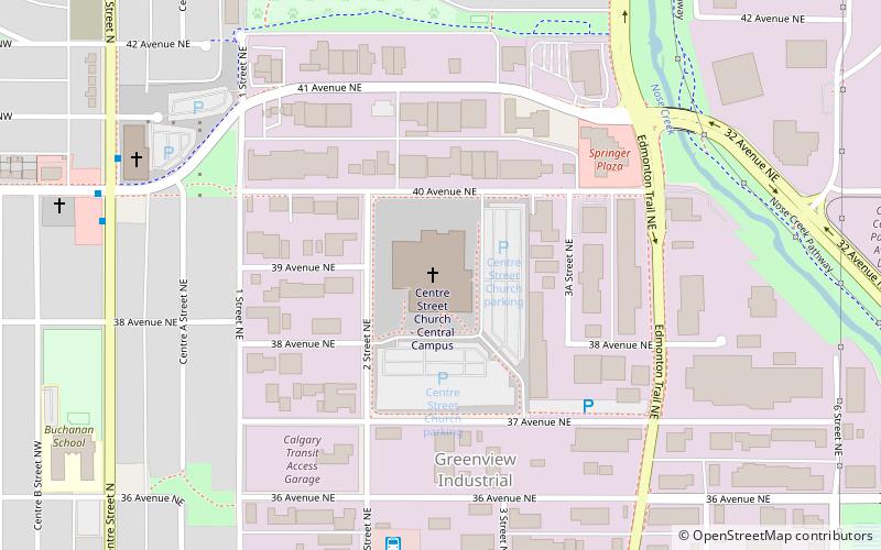
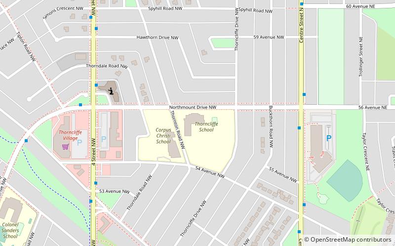
Nearby attractions include: Centre Street Church, Fox Hollow Golf Course, Confederation Park, Thorncliffe.
Frequently Asked Questions (FAQ)
Which popular attractions are close to Calgary-Klein?
Nearby attractions include Centre Street Church, Calgary (6 min walk), Thorncliffe, Calgary (23 min walk).
How to get to Calgary-Klein by public transport?
The nearest stations to Calgary-Klein:
Bus
Bus
- NB Centre ST N @ 40 AV N • Lines: 300, 301, 902 (3 min walk)
- SB Centre ST N @ 40 AV N • Lines: 300, 301, 901, 902 (5 min walk)


