Crescent Heights, Calgary
Map
Facts and practical information
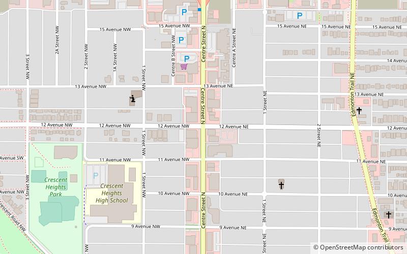
Crescent Heights is a neighbourhood located in Calgary, Alberta. It is located in the inner city, immediately north from Downtown. It is bounded to the north by the Trans-Canada Highway, on the east by Edmonton Trail, on the west by 4th Street NW, and to the south by Memorial Drive and the Bow River. ()
Area: 0.63 mi²Coordinates: 51°3'48"N, 114°3'45"W
Getting there by public transportation
Public transportation stops near this location
- Bus
- Light rail
 Bus
Bus
- Calculate routeSB Centre St N @ 16 Ave N 6 min walk
- Calculate routeCentre Street N Station 7 min walk
- Calculate routeNB Centre St N @ 16 Ave N 8 min walk
- Calculate routeNB Centre St N @ 17 Ave N 8 min walk
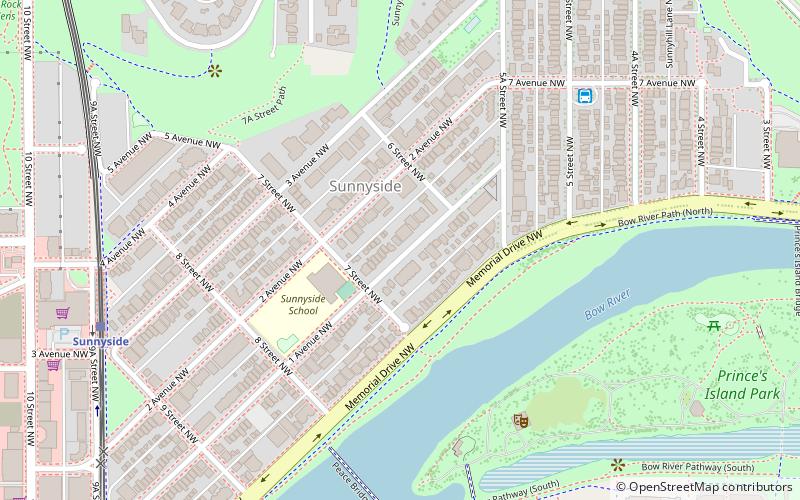
- Calculate routeSunnyside 28 min walk
- Calculate route1 Street Southwest 30 min walk
- Calculate routeCentre Street 30 min walk
- Calculate route3 Street Southwest 31 min walk
Day trips


Frequently Asked Questions (FAQ)
Which popular attractions are close to Crescent Heights?
Nearby attractions include Calgary True Buddha Pai Yuin Temple, Calgary (9 min walk), Calgary-Mountain View, Calgary (11 min walk), Prince's Island Park, Calgary (17 min walk), Centre Street Bridge, Calgary (19 min walk).
How to get to Crescent Heights by public transport?
The nearest stations to Crescent Heights:
Bus
Light rail
Bus
- SB Centre St N @ 16 Ave N • Lines: 300, 301, 901 (6 min walk)
- Centre Street N Station • Lines: 303 (7 min walk)
Light rail
- Sunnyside • Lines: 201 (28 min walk)
- 1 Street Southwest • Lines: 201, 202 (30 min walk)