Callingwood, Edmonton
Map
Facts and practical information
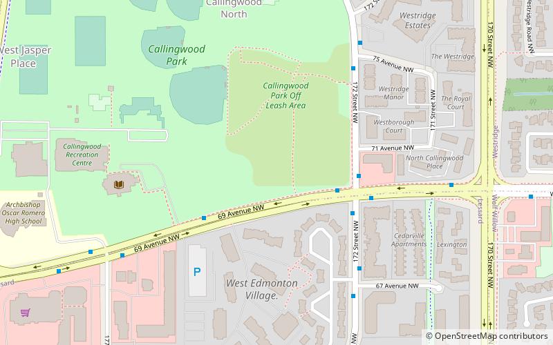
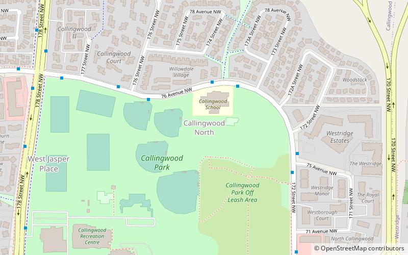
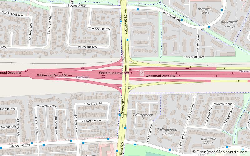
Callingwood can refer to two neighbourhoods in west Edmonton, Alberta, Canada – Callingwood North and Callingwood South. Combined, the two neighbourhoods are bounded on the west by 178 Street, on the east by 170 Street, on the north by Whitemud Drive, and on the south by Callingwood Road. Callingwood North is located north of 69 Avenue, while Callingwood South located south of 69 Avenue. ()
Coordinates: 53°30'18"N, 113°37'19"W
Address
West Edmonton (Callingwood North)Edmonton
ContactAdd
Social media
Add
Getting there by public transportation
Public transportation stops near this location
- Bus
 Bus
Bus
- Calculate route178 Street & 76 Ave 13 min walk
- Calculate route76 Ave & 180 Street 15 min walk
Day trips


Frequently Asked Questions (FAQ)
Which popular attractions are close to Callingwood?
Nearby attractions include Callingwood North, Edmonton (6 min walk), Callingwood South, Edmonton (8 min walk), Beth Israel Synagogue, Edmonton (11 min walk), West Jasper Place, Edmonton (15 min walk).
How to get to Callingwood by public transport?
The nearest stations to Callingwood:
Bus
Bus
- 178 Street & 76 Ave • Lines: 917 (13 min walk)
- 76 Ave & 180 Street • Lines: 917 (15 min walk)