Edmonton-McClung, Edmonton
Map
Facts and practical information
Edmonton-McClung is a provincial electoral district in Edmonton, Alberta, Canada. The district was created in 1993 and is named after Nellie McClung. The current MLA is Lorne Dach of the NDP, who was first elected in 2015. ()
Coordinates: 53°29'24"N, 113°37'12"W
Address
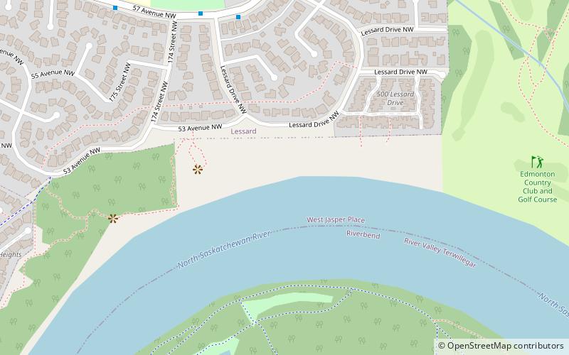
West Edmonton (River Valley Oleskiw)Edmonton
ContactAdd
Social media
Add
Getting there by public transportation
Public transportation stops near this location
- Bus
 Bus
Bus
- Calculate route188 Street & Callingwood Road 32 min walk
Day trips


Frequently Asked Questions (FAQ)
Which popular attractions are close to Edmonton-McClung?
Nearby attractions include Gariepy, Edmonton (7 min walk), Dechene, Edmonton (17 min walk), Donsdale, Edmonton (19 min walk), Callingwood South, Edmonton (19 min walk).
How to get to Edmonton-McClung by public transport?
The nearest stations to Edmonton-McClung:
Bus
Bus
- 188 Street & Callingwood Road • Lines: 917 (32 min walk)