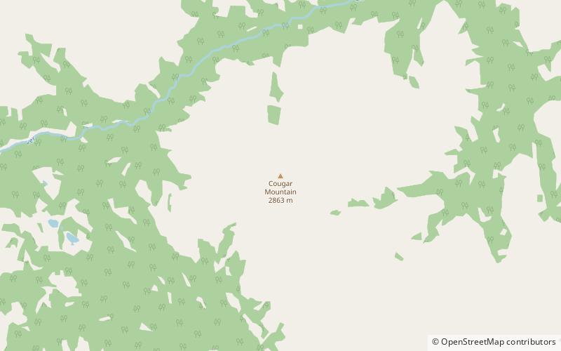
Cougar Mountain, Elbow-Sheep Wildland Provincial Park
#14 among attractions in Elbow-Sheep Wildland Provincial Park

Facts and practical information
Cougar Mountain is a summit in the Elbow River Valley, Kananaskis Country, Alberta, Canada. ()
Elbow-Sheep Wildland Provincial Park Canada
Cougar Mountain – popular in the area (distance from the attraction)
Nearby attractions include: Elbow Lake, Highwood Pass, Threepoint Mountain, Ptarmigan Cirque.
 Nature, Natural attraction, Lake
Elbow Lake
140 min walk • Nestled in the heart of Canada's picturesque wilderness, Elbow Lake offers a serene escape for nature enthusiasts and adventure seekers alike. This pristine lake is a shimmering jewel amidst the rugged beauty of the Canadian landscape, providing a tranquil retreat from...
 Mountain pass
Highwood Pass
168 min walk • Highwood Pass is a mountain pass in Kananaskis Country, Alberta, Canada. It lies west of Mount Rae and Mount Arethusa of the Misty Range, south of the Elbow Pass. It lies within the Peter Lougheed Provincial Park on Alberta Highway 40. The Highwood River originates in the pass.
 Mountain
Threepoint Mountain, Elbow-Sheep Wildland Provincial Park
100 min walk • Threepoint Mountain is the descriptive name for a three-pointed 2,595-metre mountain summit located in the Elbow River valley of Kananaskis Country, in the Canadian Rockies of Alberta, Canada. it is situated southwest of Calgary and can be seen from Highway 66.
 Natural attraction, Mountain, Hiking trail
Ptarmigan Cirque
156 min walk • Ptarmigan Cirque is the cirque between Mount Arethusa and Mount Rae at the Highwood Pass in Kananaskis Country, Alberta, Canada. The Ptarmigan Cirque hiking trail is a short loop in the cirque.
 Mountain
Banded Peak, Elbow-Sheep Wildland Provincial Park
81 min walk • Banded Peak is a 2,934-metre summit located in the Elbow River valley of Kananaskis Country in the Canadian Rockies of Alberta, Canada. Banded Peak has a distinctive limestone cliff band which gave it its descriptive name. Its name has been used since around 1896. The peak is visible from Highway 66, weather permitting.
 Nature, Natural attraction, Mountain
Mount Rae
124 min walk • Mount Rae is a mountain located on the east side of Highway 40 between Elbow Pass and the Ptarmigan Cirque in the Canadian Rockies of Alberta. Mount Rae was named after John Rae, explorer of Northern Canada, in 1859.
 Nature, Natural attraction, Mountain
Mount Arethusa
140 min walk • Mount Arethusa is a mountain located in the Canadian Rockies of Alberta, Canada. It is located alongside Highway 40, immediately east of the Highwood Pass parking lot in Kananaskis Country, and is a part of the Misty Range of the Southern Continental Ranges.
 Natural feature
High Rock Range, Elbow-Sheep Wildland Provincial Park
124 min walk • High Rock Range is a mountain range of the Canadian Rockies in southwestern Alberta and southeastern British Columbia, Canada. It is a part of the Southern Continental Ranges and is located on the Continental Divide, north of the Crowsnest Pass and south of the Highwood Pass.
 Natural feature
Misty Range, Elbow-Sheep Wildland Provincial Park
125 min walk • The Misty Range is a mountain range of the Canadian Rockies located east of the Bighorn Highway within Kananaskis Country, Canada. It is a sub-range of the High Rock Range in the Southern Continental Ranges.
 Mountain pass
Elbow Pass
145 min walk • Elbow Pass is the mountain pass between the Highwood and Elbow areas in Kananaskis Country, Alberta, Canada. It contains Elbow Lake which is the headwaters of the Elbow River.
 Neighbourhood
Kananaskis Improvement District, Elbow-Sheep Wildland Provincial Park
131 min walk • Kananaskis Improvement District is an improvement district in Alberta, Canada. It is located within Alberta's Rockies, sharing much of its boundaries with Kananaskis Country. The administrative centre of the improvement district is Kananaskis Village.