Vanier, Quebec City
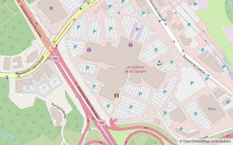
Map
Facts and practical information
Vanier is a former provincial electoral district located in the Capitale-Nationale region of Quebec, Canada, which elected members to the National Assembly of Quebec. As of its final election, it included mostly western and central portions of Quebec City west of Quebec Autoroute 73. ()
Coordinates: 46°49'48"N, 71°18'0"W
Address
Les Rivieres (Neufchâtel Est-Lebourgneuf)Quebec City
ContactAdd
Social media
Add
Day trips
Vanier – popular in the area (distance from the attraction)
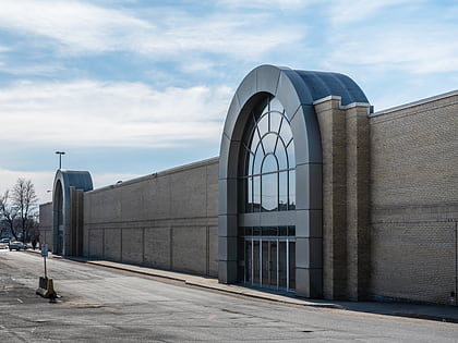
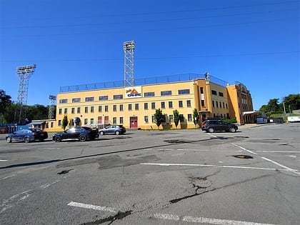
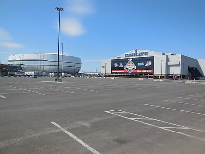
Nearby attractions include: Galeries de la Capitale, Cartier-Brébeuf National Historic Site, Centre Vidéotron, Fleur de Lys centre commercial.
Frequently Asked Questions (FAQ)
How to get to Vanier by public transport?
The nearest stations to Vanier:
Bus
Bus
- Terminus Galeries de la Capitale • Lines: 803 (4 min walk)
- Du Blizzard • Lines: 803 (7 min walk)


