Stouffville, Whitchurch-Stouffville

Map
Facts and practical information
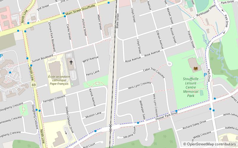
Stouffville is the primary urban area within the town of Whitchurch-Stouffville in the York Region of Ontario, Canada. It is situated within the Greater Toronto Area and the inner ring of the Golden Horseshoe. The urban area is centred at the intersection of Main Street, Mill Street, and Market Street. Between 2006 and 2011, the population of the Community of Stouffville grew 100.5% from 12,411 to 24,886, or from 51% to 66% of the total population of the larger town of Whitchurch-Stouffville. ()
Coordinates: 43°58'0"N, 79°15'0"W
Address
StouffvilleWhitchurch-Stouffville
ContactAdd
Social media
Add
Day trips
Stouffville – popular in the area (distance from the attraction)
Nearby attractions include: Nineteen on the Park, Whitchurch–Stouffville Public Library, Mantle Site, Wheler's on Main.
Frequently Asked Questions (FAQ)
Which popular attractions are close to Stouffville?
Nearby attractions include Whitchurch–Stouffville Public Library, Whitchurch-Stouffville (7 min walk), Nineteen on the Park, Whitchurch-Stouffville (10 min walk), Wheler's on Main, Whitchurch-Stouffville (15 min walk), Mantle Site, Whitchurch-Stouffville (18 min walk).
How to get to Stouffville by public transport?
The nearest stations to Stouffville:
Bus
Train
Bus
- Hoover Park Drive / Cabin Trail Crescent • Lines: 9 (6 min walk)
- Main Street / Clarke Street • Lines: 9 (8 min walk)
Train
- Stouffville (8 min walk)


