Markham—Stouffville, Whitchurch-Stouffville
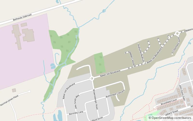
Map
Facts and practical information
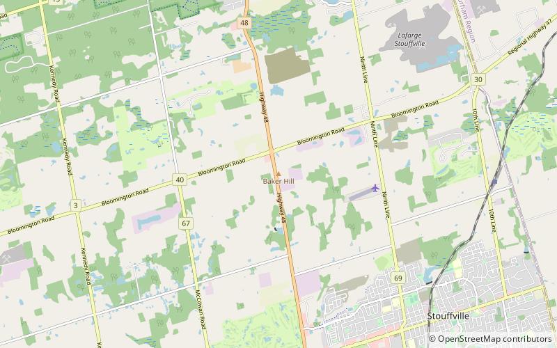
Markham—Stouffville is a federal electoral district in Ontario, Canada. It encompasses a portion of Ontario previously included in the electoral districts of Markham—Unionville and Oak Ridges—Markham. ()
Coordinates: 43°58'37"N, 79°16'23"W
Address
StouffvilleWhitchurch-Stouffville
ContactAdd
Social media
Add
Day trips
Markham—Stouffville – popular in the area (distance from the attraction)
Nearby attractions include: Angus Glen Golf Club, Nineteen on the Park, 16th Avenue Bailey Bridge, Fairtree Golf Centre.
Frequently Asked Questions (FAQ)
How to get to Markham—Stouffville by public transport?
The nearest stations to Markham—Stouffville:
Bus
Train
Bus
- Millard Street / Glad Park Avenue • Lines: 9 (18 min walk)
- Glad Park Avenue / Millard Street • Lines: 9 (18 min walk)
Train
- Stouffville (31 min walk)


