Fisher Heights, Ottawa
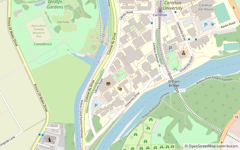
Map
Map

Facts and practical information
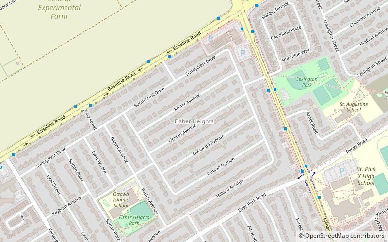
Fisher Heights is a neighbourhood located in the far northeast corner of the former City of Nepean in Ottawa, Ontario, Canada. It is located in Knoxdale-Merivale Ward. The area is located south of the Experimental Farm and approximately 8 km away from downtown Ottawa. ()
Coordinates: 45°22'5"N, 75°43'7"W
Day trips
Fisher Heights – popular in the area (distance from the attraction)
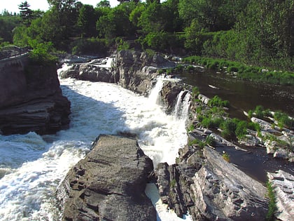
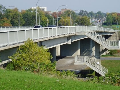
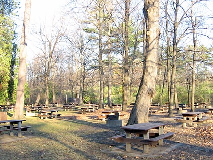
Nearby attractions include: Hog's Back Falls, Heron Road, St. John the Baptist Ukrainian Catholic National Shrine, Carleton School of Journalism.
Frequently Asked Questions (FAQ)
Which popular attractions are close to Fisher Heights?
Nearby attractions include Carleton Square, Ottawa (12 min walk), Courtland Park, Ottawa (13 min walk), Carleton Heights, Ottawa (17 min walk), Parkwood Hills, Ottawa (18 min walk).
How to get to Fisher Heights by public transport?
The nearest stations to Fisher Heights:
Bus
Bus
- Baseline / Marson • Lines: 88 (4 min walk)
- Fisher / Malibu • Lines: 86, 89 (5 min walk)

