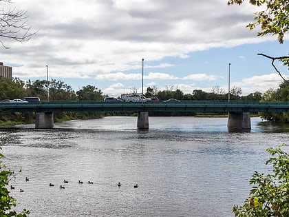
Sir Charles Tupper Building, Ottawa
Map
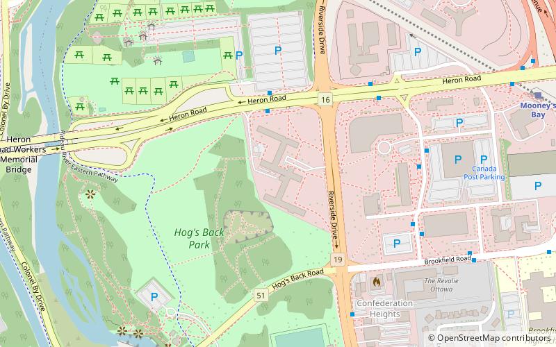
Map

Facts and practical information
The Sir Charles Tupper Building has since its completion in 1960 served as the headquarters of the Department of Public Works, now Public Works and Government Services Canada. It also houses some Health Canada operations, notably the headquarters of the Pest Management Regulatory Agency. It was named in honour of the Father of Confederation and sixth Prime Minister of Canada. ()
Coordinates: 45°22'31"N, 75°41'35"W
Address
Confederation HeightsOttawa
ContactAdd
Social media
Add
Day trips
Sir Charles Tupper Building – popular in the area (distance from the attraction)
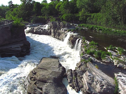
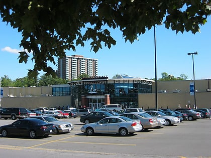
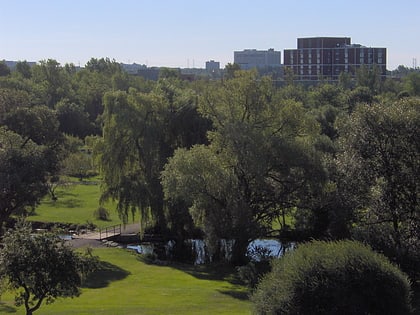
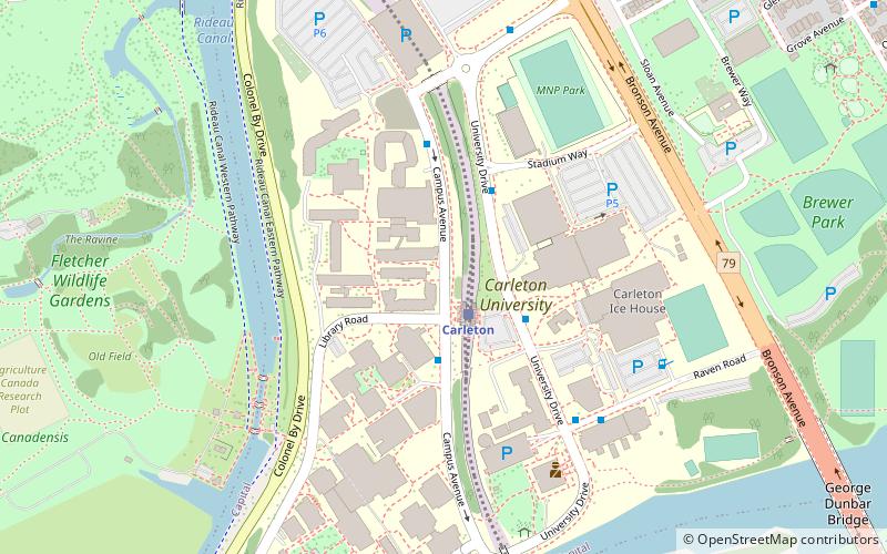
Nearby attractions include: Hog's Back Falls, Billings Bridge Plaza, Dominion Arboretum, Carleton University Art Gallery.
Frequently Asked Questions (FAQ)
Which popular attractions are close to Sir Charles Tupper Building?
Nearby attractions include Vincent Massey Park, Ottawa (8 min walk), Confederation Heights, Ottawa (9 min walk), Hog's Back Falls, Ottawa (9 min walk), Edward Drake Building, Ottawa (9 min walk).
How to get to Sir Charles Tupper Building by public transport?
The nearest stations to Sir Charles Tupper Building:
Bus
Bus
- Heron / Riverside • Lines: 111, 88 (5 min walk)
- Canada Post / Heron • Lines: 190, 290, 90 (6 min walk)

