Thornton Tunnel, Burnaby
Map
Facts and practical information
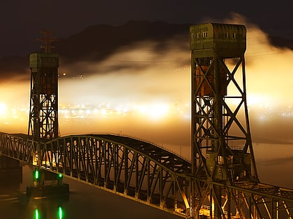
The Thornton Tunnel is a freight railway tunnel in Burnaby, British Columbia, running under the Willingdon Heights and Vancouver Heights neighbourhoods. It was built in 1969 by Canadian National to connect Second Narrows Bridge to the main line in Willingdon, and is 3.4 km long. ()
Coordinates: 49°16'46"N, 123°1'6"W
Address
Willingdon HeightsBurnaby
ContactAdd
Social media
Add
Day trips
Thornton Tunnel – popular in the area (distance from the attraction)
Nearby attractions include: Playland, Hastings Racecourse, Pacific Coliseum, Brentwood Town Centre.
Frequently Asked Questions (FAQ)
Which popular attractions are close to Thornton Tunnel?
Nearby attractions include Willingdon Heights, Burnaby (9 min walk), Burnaby Heights, Burnaby (14 min walk), Cassiar Tunnel, Vancouver (16 min walk).
How to get to Thornton Tunnel by public transport?
The nearest stations to Thornton Tunnel:
Bus
Trolleybus
Metro
Bus
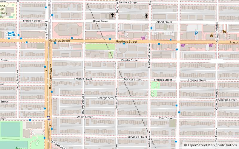
- Hastings St at Ingleton Ave • Lines: 130, 160 (3 min walk)
- Hastings St at MacDonald Ave • Lines: 160 (5 min walk)
Trolleybus
- Kootenay Loop Bay 5 • Lines: 14 (10 min walk)
- East Hastings St at Cassiar St • Lines: 14 (17 min walk)
Metro
- Gilmore • Lines: Millennium Line (27 min walk)
- Brentwood Town Centre • Lines: Millennium Line (31 min walk)
