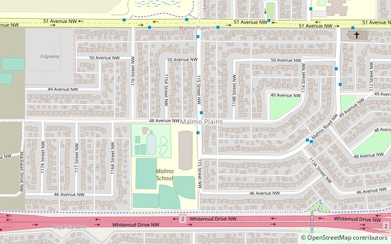
Malmo Plains, Edmonton
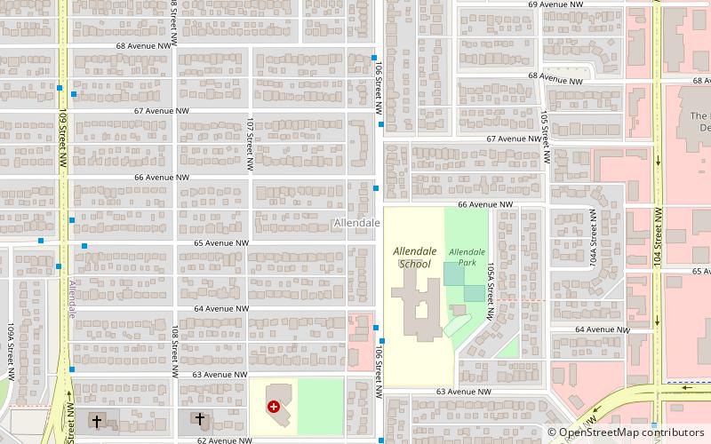
Map
Facts and practical information
Malmo Plains is a residential neighbourhood in south west Edmonton, Alberta, Canada. The University of Alberta family residences, called Michener Park, comprise the west end of the neighbourhood. The neighbourhood is named for a type of soil, malmo silty clay loam, common in the area. ()
Area: 0.36 mi²Coordinates: 53°29'9"N, 113°31'44"W
Address
Southwest Edmonton (Malmo Plains)Edmonton
ContactAdd
Social media
Add
Getting there by public transportation
Public transportation stops near this location
- Bus
- Light rail
 Bus
Bus
- Calculate routeSouthgate 13 min walk
- Calculate routeSouth Campus/Fort Edmonton Park 30 min walk
- Calculate routeSouthgate Transit Centre 14 min walk
- Calculate route113 Street & 65 Ave 29 min walk
- Calculate route65 Ave & 113 Street 29 min walk
Day trips


Frequently Asked Questions (FAQ)
Which popular attractions are close to Malmo Plains?
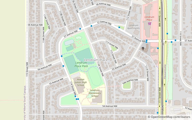
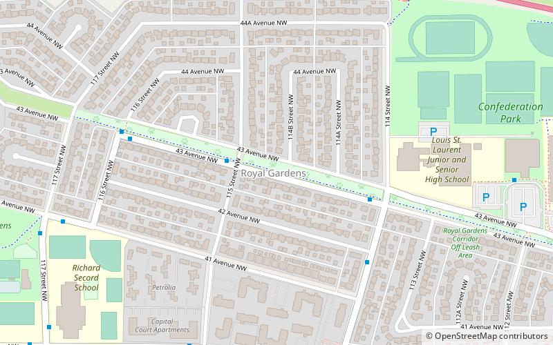
Nearby attractions include Royal Gardens, Edmonton (11 min walk), Lendrum Place, Edmonton (15 min walk), Royal Gardens Community League, Edmonton (17 min walk), Lansdowne, Edmonton (20 min walk).
How to get to Malmo Plains by public transport?
The nearest stations to Malmo Plains:
Light rail
Bus
Light rail
- Southgate • Lines: 501, 502 (13 min walk)
- South Campus/Fort Edmonton Park • Lines: 501, 502 (30 min walk)
Bus
- Southgate Transit Centre • Lines: 74 (14 min walk)
- 113 Street & 65 Ave • Lines: 4 (29 min walk)