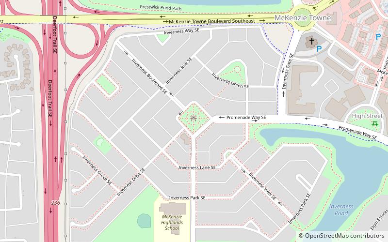
Calgary-Hays, Calgary
Map
Facts and practical information
Calgary-Hays is a provincial electoral district mandated to return one member to the Legislative Assembly of Alberta, Canada using the first past the post method of voting. ()
Coordinates: 50°56'24"N, 113°58'48"W
Address
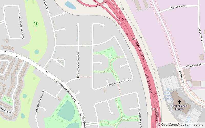
Southeast Calgary (Douglasdale)Calgary
ContactAdd
Social media
Add
Getting there by public transportation
Public transportation stops near this location
- Bus
 Bus
Bus
- Calculate routeDouglas Glen 29 min walk
Day trips


Frequently Asked Questions (FAQ)
How to get to Calgary-Hays by public transport?
The nearest stations to Calgary-Hays:
Bus
Bus
- Douglas Glen • Lines: 306 (29 min walk)