Dickson Hill, Markham
Map
Facts and practical information
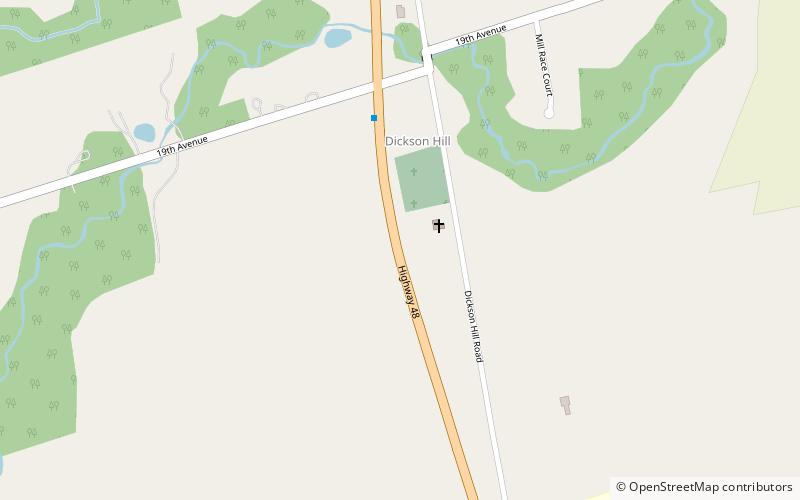
Dickson Hill is a small community in northeast Markham, Ontario, Canada, located near Highway 48 and 19th Avenue, on the border to Whitchurch-Stouffville. ()
Coordinates: 43°56'35"N, 79°16'39"W
Address
Rural MarkhamMarkham
ContactAdd
Social media
Add
Getting there by public transportation
Public transportation stops near this location
- Bus
 Bus
Bus
- Calculate routeSam's Way / Highway 48 19 min walk
- Calculate routeWalmart Stop #5083 23 min walk
- Calculate routeHoover Park Drive / Sandiford Drive 33 min walk
- Calculate routeNinth Line / Hare Farm Gate 42 min walk
Day trips


Frequently Asked Questions (FAQ)
How to get to Dickson Hill by public transport?
The nearest stations to Dickson Hill:
Bus
Bus
- Sam's Way / Highway 48 • Lines: 9 (19 min walk)
- Walmart Stop #5083 • Lines: 9 (23 min walk)