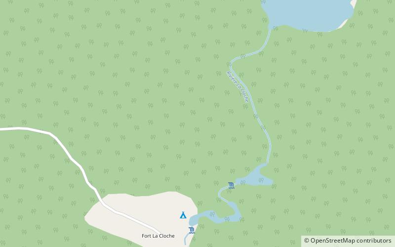
Unorganized South East Algoma District, La Cloche Provincial Park

Map
Facts and practical information
Unorganized South East Algoma District is an unorganized area in the Canadian province of Ontario, comprising a small unincorporated portion in the southeasternmost corner of the Algoma District. It comprises a small strip of land which lies between the territory of the Sagamok First Nation and the Algoma District's boundary with the Sudbury District, as well as several small islands within the North Channel of Lake Huron, such as Eagle, Fréchette, Fox, Hotham, Middleton, North and South Benjamin Islands. ()
Area: 16.79 mi²Coordinates: 46°6'60"N, 82°4'30"W
Address
La Cloche Provincial Park
ContactAdd
Social media
Add