Trek Zone

Mattson, Edmonton

#205 among attractions in Edmonton

Neighbourhood
Mattson location map
Map

Facts and practical information

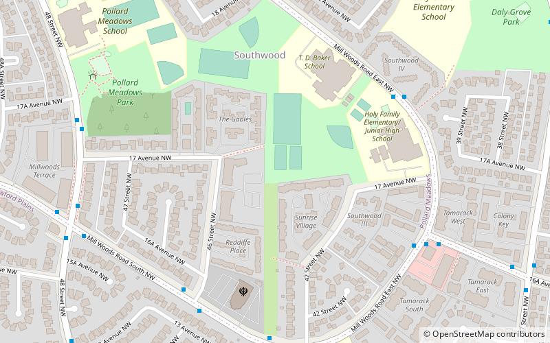
Coordinates: 53°24'12"N, 113°25'49"W
Address

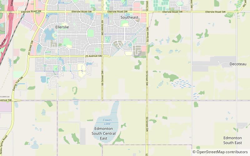
Southeast Edmonton (Rural South East)Edmonton Canada

ContactAdd
Social media
Add
Day trips

Mattson – popular in the area (distance from the attraction)

Nearby attractions include: Summerside Residents Association, Ken Nichol Regional Recreation Centre, Decoteau, Cavanagh.

  • summerside residents association edmonton2 miNW
  • ken nichol regional recreation centre beaumont3.3 miS
  • decoteau edmonton location map
    2.2 miE
  • cavanagh edmonton location map
    3.3 miW
  • cashman edmonton location map
    3 miW
  • charlesworth edmonton location map
    1.8 miN
  • knottwood edmonton location map
    3 miN
  • the orchards at ellerslie edmonton location map
    1.5 miW
  • southeast edmonton location map
    1 miN
  • millhurst edmonton location map
    3.1 miN
  • ekota edmonton3.2 miN

Frequently Asked Questions (FAQ)

How to get to Mattson by public transport?

The nearest stations to Mattson:

Bus
  • 9126 • Lines: 79 (35 min walk)

Where to next? Visit alberta Alberta region page or discover the top tourist attractions in Canada.