Deep Cove, Vancouver
Map

Map

Facts and practical information
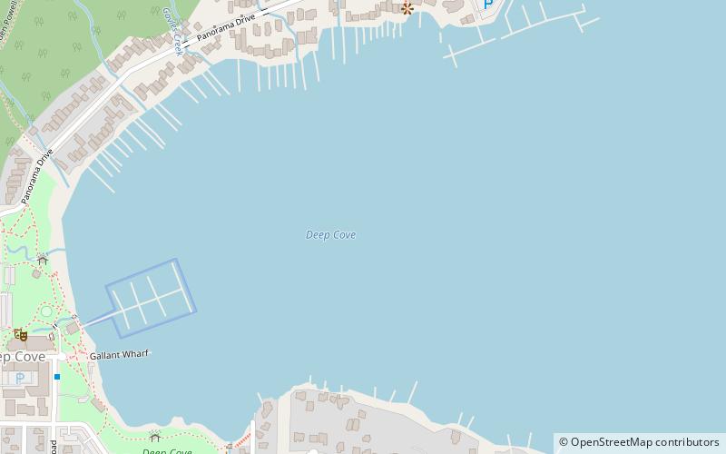
Deep Cove refers to the community in the easternmost part of the District of North Vancouver, in British Columbia, Canada, and is also the geographic name of the small bay beside the town. It is affectionately referred to as "The Cove" by local residents. Located at the foot of Mount Seymour, Deep Cove faces due east, fronting onto Indian Arm, a branch of the Burrard Inlet. The area is the traditional territory of the Tsleil-Waututh and Squamish Nations. Deep Cove is 13 kilometres from downtown Vancouver. ()
Coordinates: 49°19'44"N, 122°56'31"W
Address
Vancouver
ContactAdd
Social media
Add
Day trips
Deep Cove – popular in the area (distance from the attraction)
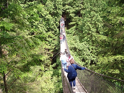
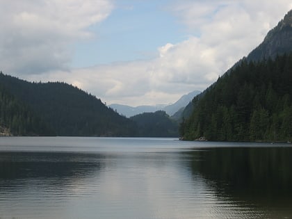
Nearby attractions include: Lynn Canyon Suspension Bridge, Buntzen Lake, Burnaby Central Railway, Northlands Golf Course.
Frequently Asked Questions (FAQ)
How to get to Deep Cove by public transport?
The nearest stations to Deep Cove:
Bus
Bus
- Banbury Rd at Gallant Ave • Lines: 211, 212 (10 min walk)
- Panorama Dr at Naughton Ave • Lines: 211, 212 (12 min walk)

 SkyTrain


