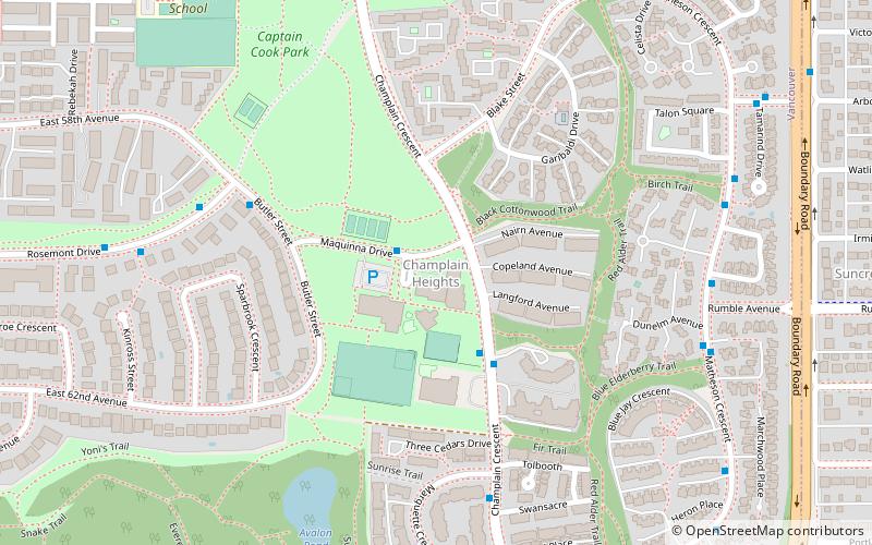
Champlain Heights, Vancouver
Map
Facts and practical information
Champlain Heights is a neighbourhood in the city of Vancouver, British Columbia, Canada. ()
Coordinates: 49°12'55"N, 123°1'51"W
Address
KillarneyVancouver
ContactAdd
Social media
Add
Getting there by public transportation
Public transportation stops near this location
- Metro
- Bus
- Trolleybus
 Metro
Metro
- Calculate routeMaquinna Dr at Stikine Pl 1 min walk
- Calculate routeButler St at Rosemont Dr 5 min walk
- Calculate routeChamplain Crescent at Marquette Crescent 6 min walk
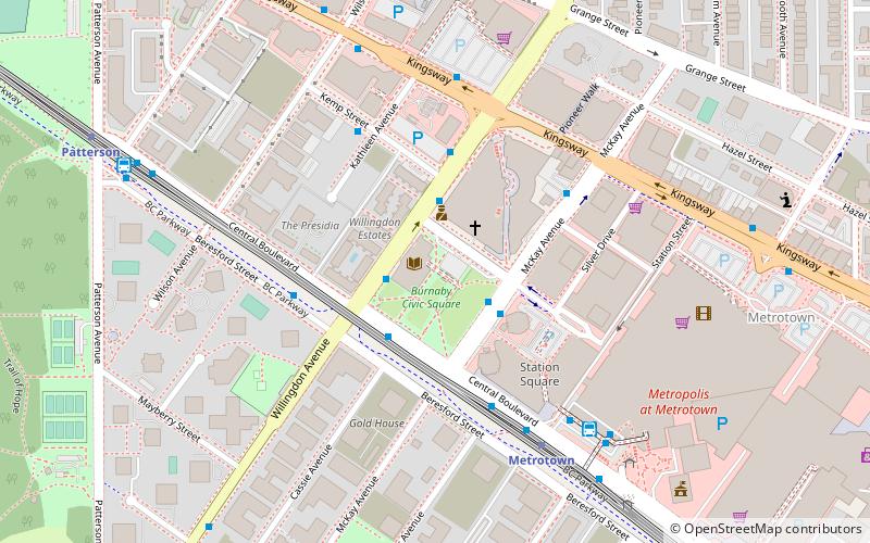
- Calculate routeKingsway at Tyne Street 30 min walk
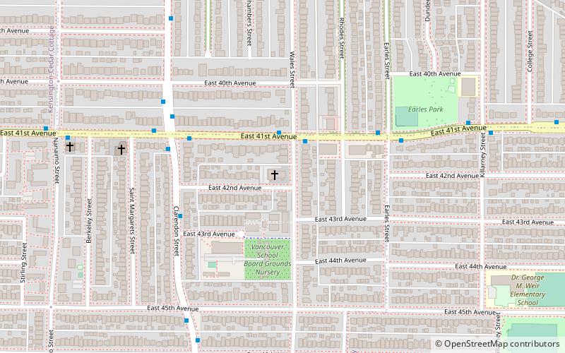
- Calculate routePatterson 34 min walk
Maps SkyTrain
SkyTrainDay trips


Frequently Asked Questions (FAQ)
How to get to Champlain Heights by public transport?
The nearest stations to Champlain Heights:
Bus
Trolleybus
Metro
Bus
- Maquinna Dr at Stikine Pl • Lines: 26 (1 min walk)
- Butler St at Rosemont Dr • Lines: 26 (5 min walk)
Trolleybus
- Kingsway at Tyne Street • Lines: 19 (30 min walk)
Metro
- Patterson • Lines: Expo Line (34 min walk)