Wychwood Park, Toronto
Map
Map

Facts and practical information
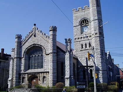
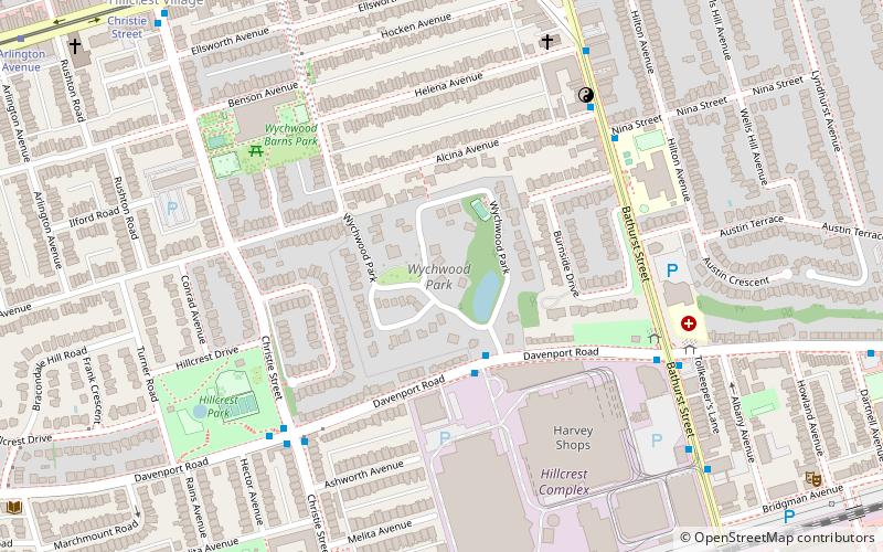
Wychwood Park is a neighbourhood enclave and private community in Toronto, Ontario, Canada. It is located west of Bathurst Street on the north side of Davenport Road, within the larger area of Bracondale Hill. It is considered part of the overall Wychwood official neighbourhood as designated by the City of Toronto. ()
Coordinates: 43°40'40"N, 79°25'13"W
Address
Midtown (Bracondale Hill)Toronto
ContactAdd
Social media
Add
Day trips
Wychwood Park – popular in the area (distance from the attraction)
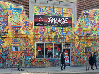
Nearby attractions include: Lee's Palace, Casa Loma, Spadina House, Bloor Cinema.
Frequently Asked Questions (FAQ)
Which popular attractions are close to Wychwood Park?
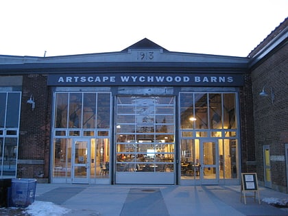
Nearby attractions include Wychwood Barns, Toronto (7 min walk), Bracondale Hill, Toronto (7 min walk), Regal Heights, Toronto (7 min walk), Tarragon Theatre, Toronto (11 min walk).
How to get to Wychwood Park by public transport?
The nearest stations to Wychwood Park:
Bus
Tram
Metro
Bus
- Davenport Road • Lines: 126 (6 min walk)
- Melvina Avenue • Lines: 126 (8 min walk)
Tram
- Wychwood • Lines: 512 (9 min walk)
- Vaughan • Lines: 512 (9 min walk)
Metro
- St. Clair West • Lines: 1 (14 min walk)
- Dupont • Lines: 1 (18 min walk)

 Subway
 Streetcar system
 PATH
PATH