Bridgeland, Calgary
Map

Gallery

Facts and practical information
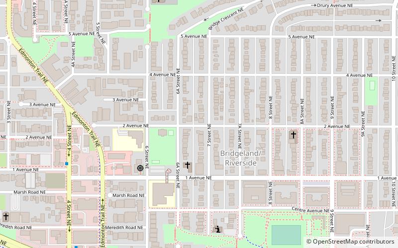
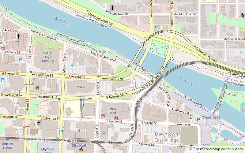
Bridgeland-Riverside, formerly known as Bridgeland and Germantown, is a neighbourhood in Calgary, Alberta, Canada, is located northeast of Downtown Calgary. It is bounded to the south by the Bow River, to the east by Deerfoot Trail, to the west by Edmonton Trail and to the north by the community of Renfrew. ()
Area: 1.24 mi²Coordinates: 51°3'17"N, 114°2'46"W
Address
Northeast Calgary (Bridgeland)Calgary
ContactAdd
Social media
Add
Day trips
Bridgeland – popular in the area (distance from the attraction)
Nearby attractions include: TELUS Spark Science Centre, Fort Calgary, Suncor Energy Centre, Centre Street Bridge.
Frequently Asked Questions (FAQ)
Which popular attractions are close to Bridgeland?
Nearby attractions include St. Vladimir's Ukrainian Orthodox Church - Calgary, Calgary (10 min walk), Reconciliation Bridge, Calgary (11 min walk), George C. King Bridge, Calgary (12 min walk), Jack and Jean Leslie RiverWalk, Calgary (13 min walk).
How to get to Bridgeland by public transport?
The nearest stations to Bridgeland:
Light rail
Bus
Train
Light rail
- Bridgeland/Memorial • Lines: 202 (12 min walk)
- City Hall • Lines: 201, 202 (19 min walk)
Bus
- WB 4 Av SE @ 1 St SE • Lines: 300 (18 min walk)
- 9 Avenue & 6 Street SE • Lines: 1 (20 min walk)
Train
- Calgary (29 min walk)


