Hagwilget, New Hazelton
Map
Facts and practical information
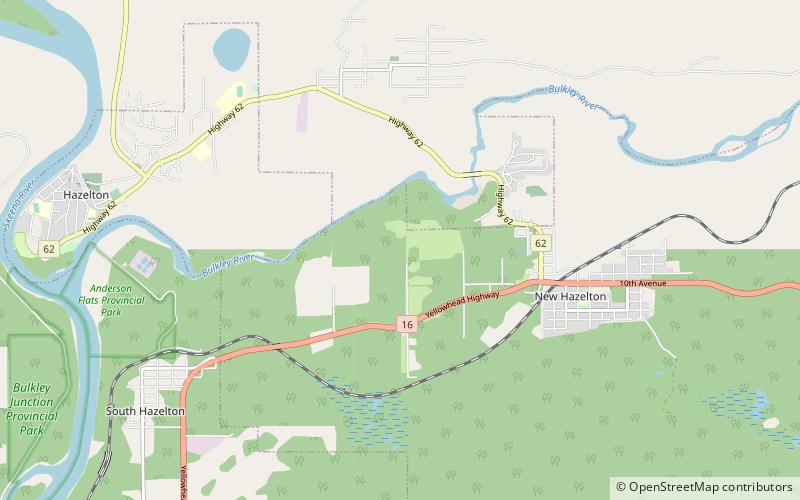
Hagwilget or Hagwilgyet is a First Nations reserve community of the Wet'suwet'en people located on the lower Bulkley River just east of Hazelton in northwestern British Columbia, Canada. The community's name means "well-dressed" as in "ostentatious," though another meaning is "the quiet people". It has also been spelled Awillgate and Ackwilgate and it has also been named Rocher Déboulé - "falling rock" - a reference to a landslide in this area from Rocher Déboulé Mountain, which blocked salmon runs on the Bulkley River at this location. ()
Coordinates: 55°15'0"N, 127°35'60"W
Address
New Hazelton
ContactAdd
Social media
Add
Day trips