Warrior Mountain, Height of the Rockies Provincial Park
Map

Map

Facts and practical information
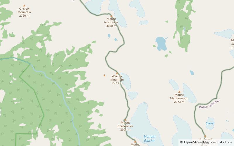
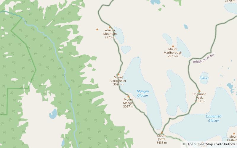
Warrior Mountain is located on the border of Alberta and British Columbia on the Continental Divide. It was named in 1917 after HMS Warrior. The first ascent of the mountain was made in 1930 by Kate Gardiner and Walter Feuz. The duo also made the first ascents of nearby Mount Sarrail and Mount Lyautey that same year. ()
Coordinates: 50°34'3"N, 115°14'13"W
Address
Height of the Rockies Provincial Park
ContactAdd
Social media
Add
Day trips
Warrior Mountain – popular in the area (distance from the attraction)
Nearby attractions include: Mount Sarrail, Upper Kananaskis Lake, Mount Lyautey, Mount Worthington.


