Heron Gate, Ottawa
Map
Map

Facts and practical information
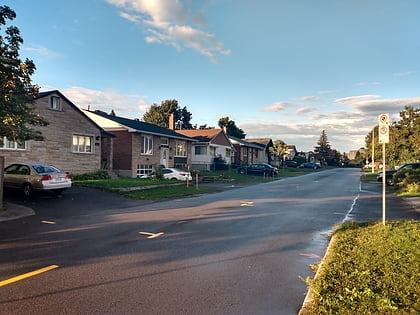
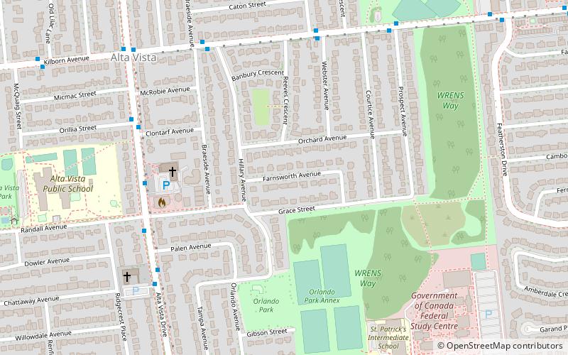
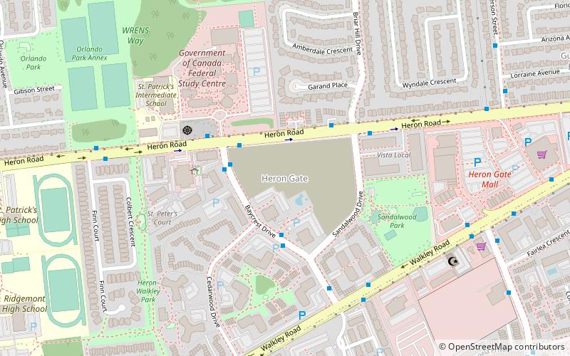
Heron Gate or Herongate is a neighbourhood in Alta Vista Ward and Gloucester-Southgate Ward in the south end of Ottawa, Ontario, Canada. It is defined by the Herongate Tenant Coalition as being bounded on the north by Heron Road, on the west by Heron-Walkley Park and Albion Road, and by the Walkley rail corridor on the south. The total population for this area according to the Canada 2016 Census was 9,714. ()
Area: 103.78 acres (0.1622 mi²)Coordinates: 45°22'44"N, 75°39'3"W
Address
Heron GateOttawa
ContactAdd
Social media
Add
Day trips
Heron Gate – popular in the area (distance from the attraction)
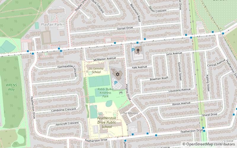
Nearby attractions include: Billings Estate Museum, Herongate Square, Pauline Vanier Park, Machzikei Hadas.
Frequently Asked Questions (FAQ)
Which popular attractions are close to Heron Gate?
Nearby attractions include Guildwood Estates, Ottawa (13 min walk), Machzikei Hadas, Ottawa (15 min walk), Ellwood, Ottawa (19 min walk).
How to get to Heron Gate by public transport?
The nearest stations to Heron Gate:
Bus
Bus
- Baycrest / Heron • Lines: 140, 291, 44, 46 (3 min walk)
- Heron / Briarhill • Lines: 291 (3 min walk)

