Altamont, Vancouver
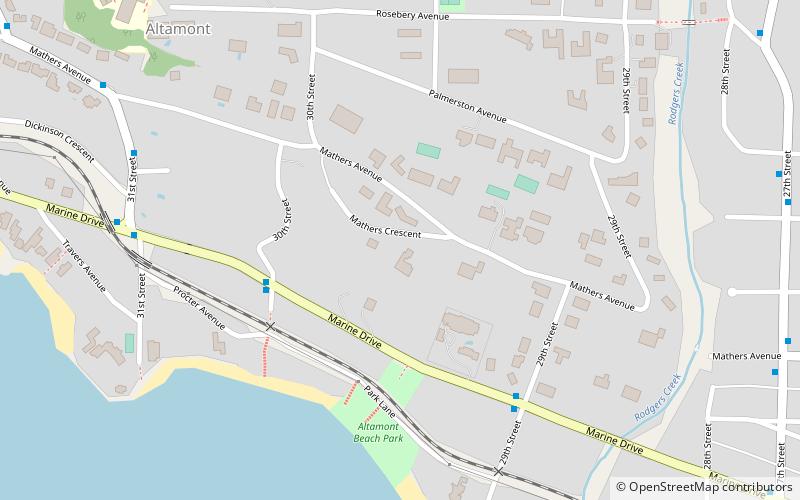
Map
Facts and practical information
Altamont is a neighbourhood of the District of West Vancouver, British Columbia, Canada. ()
Coordinates: 49°20'24"N, 123°11'49"W
Address
AltamontVancouver
ContactAdd
Social media
Add
Getting there by public transportation
Public transportation stops near this location
- Bus
 Bus
Bus
- Calculate routeMarine Dr at 30th St 4 min walk
- Calculate route31st St at Dickenson Cres 7 min walk
Maps SkyTrain
SkyTrainDay trips


Frequently Asked Questions (FAQ)
How to get to Altamont by public transport?
The nearest stations to Altamont:
Bus
Bus
- Marine Dr at 30th St • Lines: 250, 253 (4 min walk)
- 31st St at Dickenson Cres • Lines: 253 (7 min walk)